| Clayton Valley | |
|---|---|
| Floor elevation | 1,300 m (4,300 ft) |
| Geography | |
| Population centers | Silver Peak, Nevada |
| Coordinates | 37°44′37″N 117°35′27″W / 37.74361°N 117.59083°W [2] |
| Topo map | Alcatraz Island |
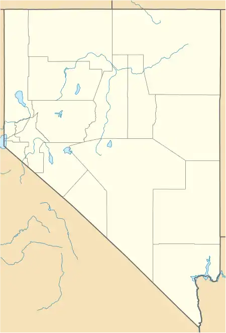
Clayton Valley is a valley in the U.S. state of Nevada.[2]
The Silver Peak Range is located west of the valley. The town of Silver Peak, Nevada is located in the valley.
Clayton Valley was named after Joshua E. Clayton, an early settler and mining engineer.[3]
References
- ↑ "Clayton Valley". Geographic Names Information System. United States Geological Survey, United States Department of the Interior. Retrieved 2018-07-22.
- 1 2 U.S. Geological Survey Geographic Names Information System: Clayton Valley
- ↑ Federal Writers' Project (1941). Origin of Place Names: Nevada (PDF). W.P.A. p. 31.
This article is issued from Wikipedia. The text is licensed under Creative Commons - Attribution - Sharealike. Additional terms may apply for the media files.
