Coëtivy Airport | |||||||||||
|---|---|---|---|---|---|---|---|---|---|---|---|
| Summary | |||||||||||
| Airport type | Private | ||||||||||
| Serves | Coëtivy Island, Seychelles | ||||||||||
| Elevation AMSL | 10 ft / 3 m | ||||||||||
| Coordinates | 07°08′00″S 56°16′35″E / 7.13333°S 56.27639°E | ||||||||||
| Map | |||||||||||
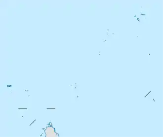
 FSSC Location of airport in Seychelles | |||||||||||
| Runways | |||||||||||
| |||||||||||
Coëtivy Airport (ICAO: FSSC) is an airport serving Coëtivy Island in the Seychelles. The island is 290 kilometres (180 mi) south-southeast of Victoria, capital of the Seychelles on Mahe Island. Along with Île Platte, the nearest neighbor 171 kilometres (106 mi) northwest, it comprises the Southern Coral Group of the Outer Islands.
The Coetivy non-directional beacon (Ident: COE) is located just south of the field.[4]
See also
References
- ↑ Airport information for FSSC[usurped]
- ↑ Airport information for Coëtivy at Great Circle Mapper.
- ↑ Google Maps - Coëtivy
- ↑ "Coetivy NDB (COE) @ OurAirports". ourairports.com. Retrieved 2018-08-24.
External links
- OpenStreetMap - Coëtivy
- OurAirports - Coëtivy
- FallingRain - Coëtivy Airport
- Accident history for Coëtivy Airport at Aviation Safety Network
This article is issued from Wikipedia. The text is licensed under Creative Commons - Attribution - Sharealike. Additional terms may apply for the media files.