| Coal | |
|---|---|
 Richmond Bridge on the Coal River | |
| Location | |
| Country | Australia |
| State | Tasmania |
| Region | Southern Midlands |
| Physical characteristics | |
| Source | |
| • coordinates | 42°46′S 147°27′E / 42.767°S 147.450°E |
| Mouth | |
• coordinates | 42°46′39.6″S 147°37′07.4″E / 42.777667°S 147.618722°E |
| < | |
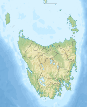
Coal River is a river in southern Tasmania. With headwaters near Tunnack, it flows through the Coal River Valley and the town of Richmond, and empties into Pitt Water.[1] In Richmond, the river is crossed by the historically significant Richmond Bridge, the oldest bridge built in Australia that is still in use.[2]
Under the Nature Conservation Act of 2002 a part of Pitt Water was declared a nature reserve.[3] The reserve is partially contained within the Pitt Water-Orielton Lagoon Ramsar Site, which, in 1983, was listed as a wetland of international importance under the Ramsar convention. The reserve is the habitat of migratory and resident birds, is a nursery of marine life and is an important estuarine ecosystem, and includes many unique species.[3]
References
- ↑ "Hydrological Analysis of the Coal River Catchment" (PDF). Department of Primary Industries, Water and Environment (Tasmania). Government of Tasmania. December 2003. Retrieved 25 February 2018.
- ↑ "Richmond Bridge, Coal River, 1825-". Engineers Australia. Retrieved 25 February 2018.
- 1 2 Parks and Wildlife Service (2013), Pitt Water Nature Reserve Management Plan (PDF), Hobart: Department of Primary Industries, Parks, Water and Environment
