| Cold Brook | |
|---|---|
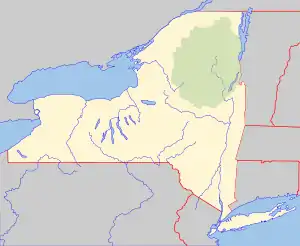 Location of mouth within New York  Cold Brook (Oneida County, New York) (the United States) | |
| Location | |
| Country | United States |
| State | New York |
| Physical characteristics | |
| Source | |
| • coordinates | 43°29′46″N 75°13′32″W / 43.4961797°N 75.2254455°W[1] |
| Mouth | Black River |
• location | Hawkinsville, New York |
• coordinates | 43°29′32″N 75°16′22″W / 43.4922909°N 75.2726695°W[1] |
• elevation | 1,043 ft (318 m)[1] |
| Basin features | |
| Tributaries | |
| • left | Crystal Creek |
Cold Brook flows into the Black River near Hawkinsville, New York.
References
- 1 2 3 "Cold Brook". Geographic Names Information System. United States Geological Survey, United States Department of the Interior. Retrieved May 11, 2020.
This article is issued from Wikipedia. The text is licensed under Creative Commons - Attribution - Sharealike. Additional terms may apply for the media files.