Colgate | |
|---|---|
| Colgate Township, North Dakota | |
 Colgate | |
| Coordinates: 47°14′41″N 97°39′23″W / 47.24472°N 97.65639°W | |
| Elevation | 360 m (1,181 ft) |
| Population | 62[2] |
| ZIP Code | 58046 |
| GNIS feature ID | 1028423[1] |
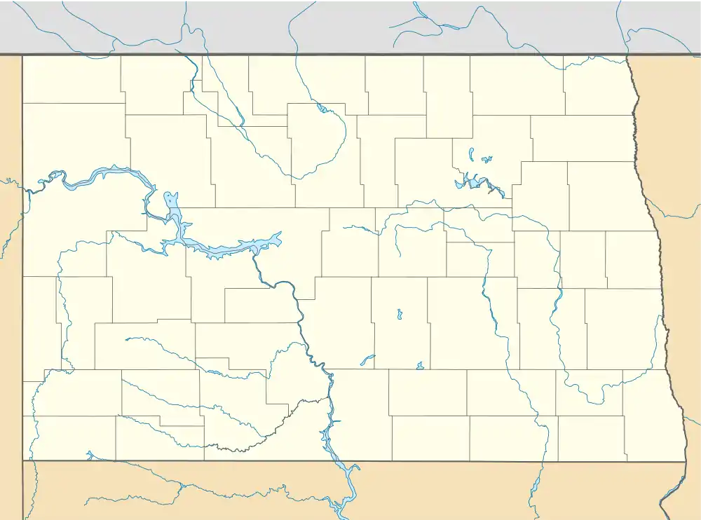
Colgate is an unincorporated community in Steele County, North Dakota, United States.
Founding
The townsite was founded in 1882. A post office called Colgate was established in 1883 and remained in operation until 1972.[3] The community has the namesake of James Boorman Colgate, who was the largest land owner with 4,000 acres (16 km2) he bought from the Northern Pacific Railway.[4]
Schools
There was a Colgate School District, but after the school closed in 1964, children began attending schools in Hope and Page (now the Hope-Page School District).[5]
Climate
Colgate has a humid continental climate (Köppen Dfb), bordering on a dry-winter humid continental climate (Köppen Dwb).
| Climate data for Colgate, North Dakota, 1991–2020 normals, 1915-2020 extremes: 1180ft (360m) | |||||||||||||
|---|---|---|---|---|---|---|---|---|---|---|---|---|---|
| Month | Jan | Feb | Mar | Apr | May | Jun | Jul | Aug | Sep | Oct | Nov | Dec | Year |
| Record high °F (°C) | 52 (11) |
56 (13) |
82 (28) |
100 (38) |
100 (38) |
101 (38) |
114 (46) |
107 (42) |
104 (40) |
92 (33) |
77 (25) |
70 (21) |
114 (46) |
| Mean maximum °F (°C) | 38.8 (3.8) |
42.4 (5.8) |
55.4 (13.0) |
80.0 (26.7) |
88.1 (31.2) |
91.1 (32.8) |
93.7 (34.3) |
94.4 (34.7) |
89.5 (31.9) |
78.0 (25.6) |
58.0 (14.4) |
41.0 (5.0) |
97.0 (36.1) |
| Mean daily maximum °F (°C) | 14.1 (−9.9) |
18.7 (−7.4) |
32.2 (0.1) |
50.5 (10.3) |
65.4 (18.6) |
75.3 (24.1) |
80.5 (26.9) |
79.3 (26.3) |
69.6 (20.9) |
53.4 (11.9) |
34.6 (1.4) |
20.2 (−6.6) |
49.5 (9.7) |
| Daily mean °F (°C) | 4.1 (−15.5) |
8.1 (−13.3) |
22.8 (−5.1) |
39.6 (4.2) |
53.8 (12.1) |
64.3 (17.9) |
68.7 (20.4) |
66.6 (19.2) |
57.0 (13.9) |
42.3 (5.7) |
25.3 (−3.7) |
11.5 (−11.4) |
38.7 (3.7) |
| Mean daily minimum °F (°C) | −6.0 (−21.1) |
−2.6 (−19.2) |
13.4 (−10.3) |
28.7 (−1.8) |
42.1 (5.6) |
53.4 (11.9) |
56.8 (13.8) |
53.9 (12.2) |
44.3 (6.8) |
31.2 (−0.4) |
16.1 (−8.8) |
2.8 (−16.2) |
27.8 (−2.3) |
| Mean minimum °F (°C) | −25.1 (−31.7) |
−22.6 (−30.3) |
−8.1 (−22.3) |
14.4 (−9.8) |
26.9 (−2.8) |
40.0 (4.4) |
46.2 (7.9) |
41.3 (5.2) |
28.6 (−1.9) |
17.0 (−8.3) |
−2.8 (−19.3) |
−19.7 (−28.7) |
−28.6 (−33.7) |
| Record low °F (°C) | −40 (−40) |
−37 (−38) |
−31 (−35) |
−10 (−23) |
13 (−11) |
24 (−4) |
36 (2) |
27 (−3) |
15 (−9) |
−7 (−22) |
−31 (−35) |
−34 (−37) |
−40 (−40) |
| Average precipitation inches (mm) | 0.51 (13) |
0.46 (12) |
0.84 (21) |
0.94 (24) |
3.15 (80) |
3.58 (91) |
3.30 (84) |
2.51 (64) |
2.73 (69) |
1.58 (40) |
0.71 (18) |
0.57 (14) |
20.88 (530) |
| Average snowfall inches (cm) | 8.40 (21.3) |
5.00 (12.7) |
4.50 (11.4) |
1.60 (4.1) |
0.00 (0.00) |
0.00 (0.00) |
0.00 (0.00) |
0.00 (0.00) |
0.00 (0.00) |
0.80 (2.0) |
8.00 (20.3) |
6.40 (16.3) |
34.7 (88.1) |
| Source 1: NOAA[6] | |||||||||||||
| Source 2: XMACIS (records & 1981-2010 monthly max/mins)[7] | |||||||||||||
Gallery
 Colgate Presbyterian Church
 Vacant building, old packaging plant
References
- 1 2 U.S. Geological Survey Geographic Names Information System: Colgate, North Dakota
- ↑ 2020 Census
- ↑ Postal History
- ↑ History of Colgate. p. 8.
- ↑ List of Schools
- ↑ "Colgate, North Dakota 1991-2020 Monthly Normals". Retrieved December 26, 2023.
- ↑ "xmACIS". National Oceanic and Atmospheric Administration. Retrieved December 26, 2023.
This article is issued from Wikipedia. The text is licensed under Creative Commons - Attribution - Sharealike. Additional terms may apply for the media files.