Coli | |
|---|---|
| Comune di Coli | |
 | |
Location of Coli | |
 Coli Location of Coli in Italy 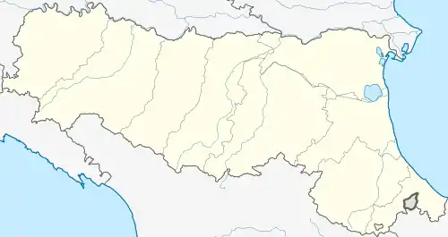 Coli Coli (Emilia-Romagna) | |
| Coordinates: 44°45′N 9°25′E / 44.750°N 9.417°E | |
| Country | Italy |
| Region | Emilia-Romagna |
| Province | Province of Piacenza (PC) |
| Frazioni | Aglio |
| Area | |
| • Total | 72.2 km2 (27.9 sq mi) |
| Population (Dec. 2004)[2] | |
| • Total | 1,030 |
| • Density | 14/km2 (37/sq mi) |
| Time zone | UTC+1 (CET) |
| • Summer (DST) | UTC+2 (CEST) |
| Postal code | 29020 |
| Dialing code | 0523 |

Armelio mountain.
Coli (Ligurian: Cor; Piacentino: Cor) is a comune (municipality) in the Province of Piacenza in the Italian region Emilia-Romagna, located about 160 kilometres (99 mi) west of Bologna and about 40 kilometres (25 mi) southwest of Piacenza. As of 31 December 2004, it had a population of 1,030 and an area of 72.2 square kilometres (27.9 sq mi).[3]
The municipality of Coli contains the frazione (subdivision) Aglio.
Coli borders the following municipalities: Bettola, Bobbio, Corte Brugnatella, Farini, Ferriere, Travo.
Demographic evolution

References
- ↑ "Superficie di Comuni Province e Regioni italiane al 9 ottobre 2011". Italian National Institute of Statistics. Retrieved 16 March 2019.
- ↑ "Popolazione Residente al 1° Gennaio 2018". Italian National Institute of Statistics. Retrieved 16 March 2019.
- ↑ All demographics and other statistics: Italian statistical institute Istat.

This article is issued from Wikipedia. The text is licensed under Creative Commons - Attribution - Sharealike. Additional terms may apply for the media files.