| Coll de Balaguer | |
|---|---|
 View of Los Dedalts mountains in the Coll de Balaguer area. | |
| Elevation | 121 m (397 ft)[1] |
| Location | Vandellòs i l'Hospitalet de l'Infant, Catalonia |
| Range | Catalan Pre-Coastal Range |
| Coordinates | 40°57′58″N 0°53′8″E / 40.96611°N 0.88556°E |
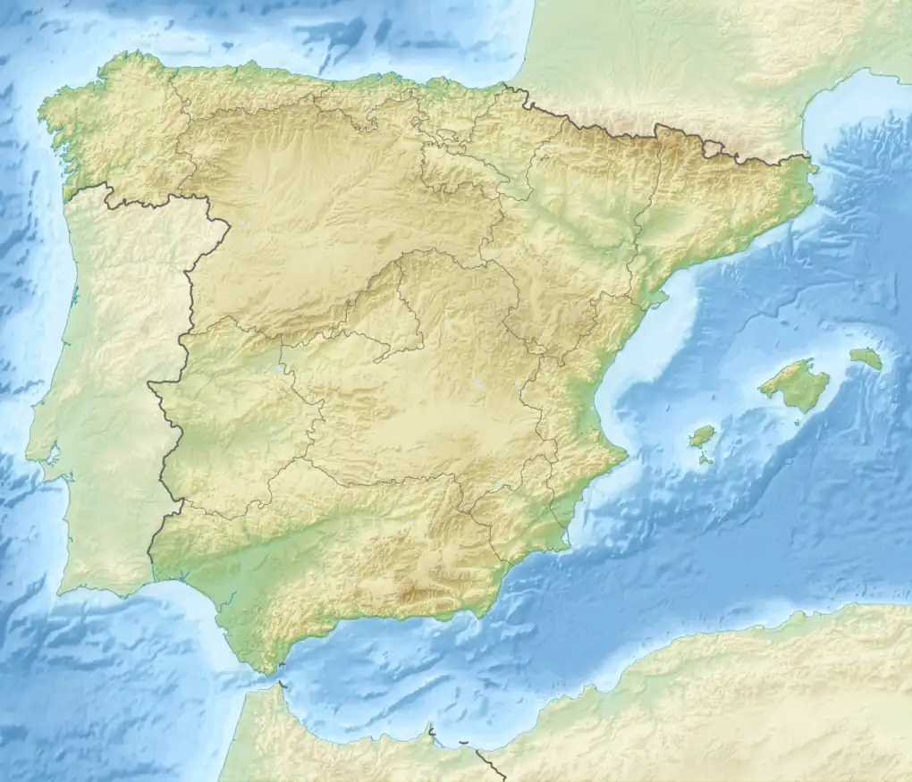
 Coll de Balaguer Location of Coll de Balaguer | |
The Coll de Balaguer is a mountain pass in Catalonia, Spain. It is located at the point where the Catalan Pre-Coastal Range reaches the sea, in L'Almadrava, within the Vandellòs i l'Hospitalet de l'Infant municipality, Baix Camp.
Despite its scant altitude this pass has been an important communication line between the Terres de l'Ebre region and the Camp de Tarragona since ancient times. Nowadays highways AP-7, N-340, as well as the RENFE Barcelona-Valencia railway line go through the Coll de Balaguer pass.
There are the ruins of a 13th-century castle overlooking the pass from the time of the fight against the Saracens. The Vandellòs Nuclear Power Plant is located right south of Coll de Balaguer.
See also
References
- ↑ "Mapa Topogràfic de Catalunya". Institut Cartogràfic de Catalunya. Retrieved 9 September 2010.
This article is issued from Wikipedia. The text is licensed under Creative Commons - Attribution - Sharealike. Additional terms may apply for the media files.