Conceição | |
|---|---|
.jpg.webp) Flag  Coat of arms | |
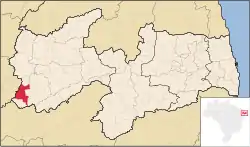 Location in Paraíba state | |
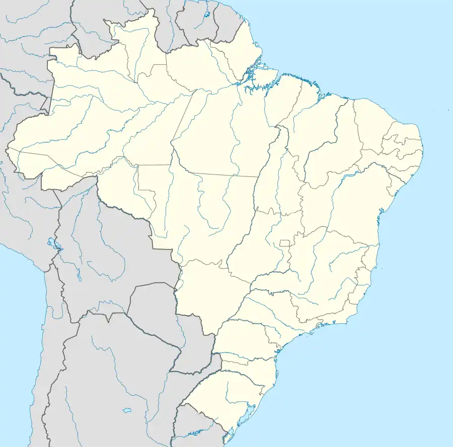 Conceição Location in Brazil | |
| Coordinates: 7°33′43″S 38°30′32″W / 7.56194°S 38.50889°W | |
| Country | Brazil |
| Region | Northeast |
| State | Paraíba |
| Microregion | Itaporanga |
| Area | |
| • Total | 579 km2 (224 sq mi) |
| Population (2020 [1]) | |
| • Total | 19,007 |
| • Density | 33/km2 (85/sq mi) |
| Time zone | UTC−3 (BRT) |
Conceição is a municipality (município) in the state of Paraíba in Brazil. The population is 19,007 (2020 est.) in an area of 579 km². It is part of the microregion of Itaporanga.
References
This article is issued from Wikipedia. The text is licensed under Creative Commons - Attribution - Sharealike. Additional terms may apply for the media files.