Copargo | |
|---|---|
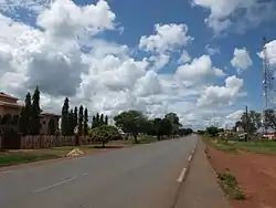 Entrance to the town | |
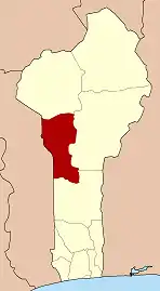
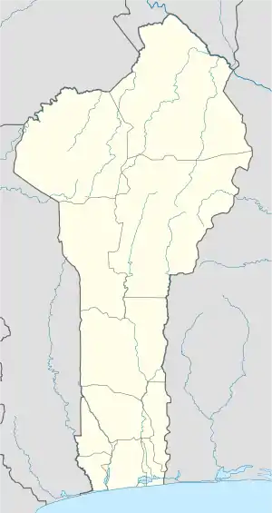 Copargo Location in Benin | |
| Coordinates: 9°50′15″N 1°32′53″E / 9.83750°N 1.54806°E | |
| Country | |
| Department | Donga Department |
| Area | |
| • Total | 338 sq mi (876 km2) |
| Population (2013) | |
| • Total | 70,938 |
| Time zone | UTC+1 (WAT) |
Copargo is a town, arrondissement, and commune in the Donga Department of western Benin. The commune covers an area of 876 square kilometres and as of 2013 had a population of 70,938 people.[1][2]

Locals
References
Wikimedia Commons has media related to Copargo.
- ↑ "Copargo". Atlas Monographique des Communes du Benin. Archived from the original on May 9, 2021. Retrieved January 5, 2010.
- ↑ "Communes of Benin". Statoids. Retrieved January 5, 2010.
9°50′15″N 1°32′53″E / 9.83750°N 1.54806°E

This article is issued from Wikipedia. The text is licensed under Creative Commons - Attribution - Sharealike. Additional terms may apply for the media files.