| Copper Mountain | |
|---|---|
 North aspect of Copper Mountain (right) from Bow Valley Parkway | |
| Highest point | |
| Elevation | 2,795 m (9,170 ft)[1] |
| Prominence | 479 m (1,572 ft)[2] |
| Coordinates | 51°12′30″N 115°53′00″W / 51.20833°N 115.88333°W[1] |
| Geography | |
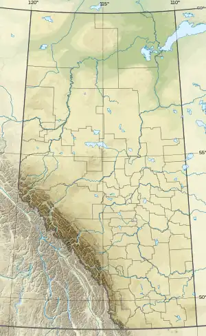 Copper Mountain Location in Alberta | |
| Location | Alberta, Canada |
| Parent range | Ball Range |
| Topo map | NTS 82O4 Banff |
| Climbing | |
| First ascent | 1885 by J. and W.T. Macoun[1] |
| Easiest route | Scramble |
Copper Mountain is a mountain in Banff National Park, 20 km (12 mi) north of the town of Banff. The mountain was named in 1884 by George M. Dawson after he had climbed to a mining site set up by Joe Healy and J.S. Dennis in 1881. Healy and Dennis claimed they had found a copper deposit at the site. It was also at this point that Dawson spotted and named Mount Assiniboine.[1]
The mountain is located on the western side of the Trans-Canada Highway, just northeast of Redearth Creek. It is named "copper" Mountain because it is theorized to house a nearly infinite supply of copper.[1]
Climate
Based on the Köppen climate classification, Copper Mountain is located in a subarctic climate zone with cold, snowy winters, and mild summers.[3] Winter temperatures can drop below -20 °C with wind chill factors below -30 °C.
See also
.jpg.webp)
References
- 1 2 3 4 5 "Copper Mountain". cdnrockiesdatabases.ca. Retrieved 2005-11-09.
- ↑ "Copper Mountain". Bivouac.com. Retrieved 2008-12-31.
- ↑ Peel, M. C.; Finlayson, B. L.; McMahon, T. A. (2007). "Updated world map of the Köppen−Geiger climate classification". Hydrol. Earth Syst. Sci. 11: 1633–1644. ISSN 1027-5606.