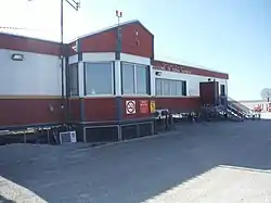
Coral Harbour Airport | |||||||||||
|---|---|---|---|---|---|---|---|---|---|---|---|
 | |||||||||||
| Summary | |||||||||||
| Airport type | Public | ||||||||||
| Operator | Government of Nunavut | ||||||||||
| Location | Coral Harbour, Nunavut | ||||||||||
| Time zone | EST (UTC−05:00) | ||||||||||
| Elevation AMSL | 204 ft / 62 m | ||||||||||
| Coordinates | 64°11′36″N 083°21′34″W / 64.19333°N 83.35944°W | ||||||||||
| Map | |||||||||||
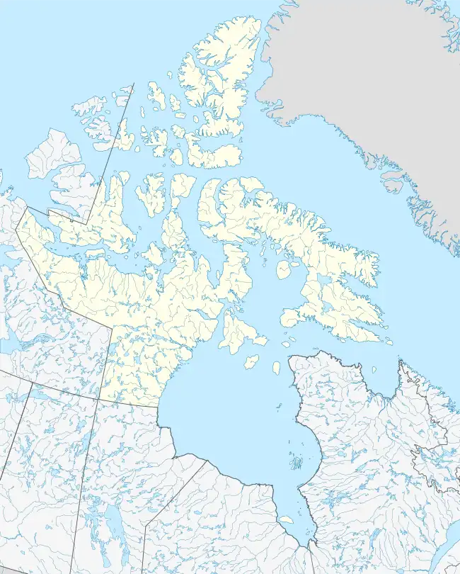 CYZS Location in Nunavut  CYZS CYZS (Canada) | |||||||||||
| Runways | |||||||||||
| |||||||||||
| Statistics (2010) | |||||||||||
| |||||||||||
Coral Harbour Airport (IATA: YZS, ICAO: CYZS) is located 6 nautical miles (11 km; 6.9 mi) northwest of Coral Harbour, Nunavut, Canada, and is operated by the government of Nunavut.It has a GRVL runway 5006 x 100 feet.[4]
Airlines and destinations
| Airlines | Destinations |
|---|---|
| Calm Air | Arviat, Baker Lake, Chesterfield Inlet, Churchill, Rankin Inlet, Repulse Bay, Thompson[5] |
References
![]() This article incorporates public domain material from the Air Force Historical Research Agency
This article incorporates public domain material from the Air Force Historical Research Agency
- ↑ Canada Flight Supplement. Effective 0901Z 16 July 2020 to 0901Z 10 September 2020.
- ↑ Synoptic/Metstat Station Information Archived December 1, 2011, at the Wayback Machine
- ↑ Total aircraft movements by class of operation
- ↑ "CYZS - Coral Harbour Airport | SkyVector". skyvector.com. Retrieved 2022-12-02.
- ↑ Calm Air schedule Archived 2011-09-30 at the Wayback Machine
External links
- Page about this airport on COPA's Places to Fly airport directory
- Past three hours METARs, SPECI and current TAFs for Coral Harbour Airport from Nav Canada as available.
| By name | |
|---|---|
| By location indicator | |
| By province/territory | |
| By area | |
| National Airports System | |
| Related | |
| |
This article is issued from Wikipedia. The text is licensed under Creative Commons - Attribution - Sharealike. Additional terms may apply for the media files.