Cordesville, South Carolina | |
|---|---|
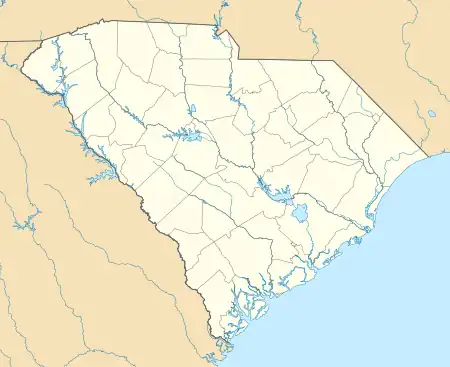 Cordesville  Cordesville | |
| Coordinates: 33°07′56″N 79°53′00″W / 33.13222°N 79.88333°W | |
| Country | United States |
| State | South Carolina |
| County | Berkeley |
| Elevation | 52 ft (16 m) |
| Time zone | UTC-5 (Eastern (EST)) |
| • Summer (DST) | UTC-4 (EDT) |
| ZIP code | 29434 |
| Area code(s) | 843, 854 |
| GNIS feature ID | 1247384[1] |
Cordesville is an unincorporated community in Berkeley County, South Carolina, United States.[1] The community is located on South Carolina Highway 402 8.7 miles (14.0 km) east-southeast of Moncks Corner. Cordesville has a post office with ZIP code 29434.[2][3]
References
- 1 2 "Cordesville". Geographic Names Information System. United States Geological Survey, United States Department of the Interior.
- ↑ United States Postal Service. "USPS - Look Up a ZIP Code". Retrieved October 30, 2016.
- ↑ "Postmaster Finder - Post Offices by ZIP Code". United States Postal Service. Archived from the original on October 17, 2020. Retrieved October 30, 2016.
Municipalities and communities of Berkeley County, South Carolina, United States | ||
|---|---|---|
| Cities |  Map of South Carolina highlighting Berkeley County | |
| Towns | ||
| CDPs | ||
| Other communities | ||
| Footnotes | ‡This populated place also has portions in an adjacent county or counties | |
This article is issued from Wikipedia. The text is licensed under Creative Commons - Attribution - Sharealike. Additional terms may apply for the media files.