| Corno di Gesero | |
|---|---|
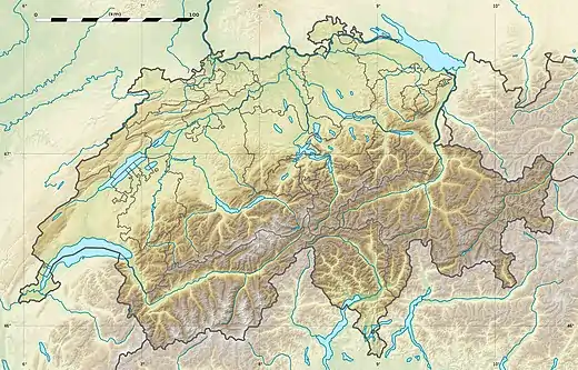 Corno di Gesero Location in Switzerland | |
| Highest point | |
| Elevation | 2,227 m (7,306 ft) |
| Prominence | 182 m (597 ft)[1] |
| Parent peak | Marmontana |
| Coordinates | 46°11′08″N 9°07′53″E / 46.18556°N 9.13139°E |
| Geography | |
| Location | Ticino/Graubünden, Switzerland |
| Parent range | Lepontine Alps |
The Corno di Gesero is a mountain of the Lepontine Alps, located on the border between the Swiss cantons of Ticino and Graubünden. It lies on the range west of the Cima di Cugn, between the Valle d'Arbedo and the Val Traversagna.
References
- ↑ Retrieved from the Swisstopo topographic maps. The key col is located west of the Cima di Cugn at 2,045 metres.
External links
This article is issued from Wikipedia. The text is licensed under Creative Commons - Attribution - Sharealike. Additional terms may apply for the media files.