| Cottonwood Mountain | |
|---|---|
| Highest point | |
| Elevation | 1,974 m (6,476 ft) |
| Geography | |
| Country | United States |
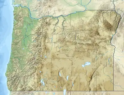
| State | Oregon |
| District | Malheur County |
| Range coordinates | 44°10′6.569″N 117°39′43.689″W / 44.16849139°N 117.66213583°W |
| Topo map | USGS Brady Creek |
Cottonwood Mountain is a mountain range in Malheur County, Oregon.[1]
References
This article is issued from Wikipedia. The text is licensed under Creative Commons - Attribution - Sharealike. Additional terms may apply for the media files.