Cottonwoods | |
|---|---|
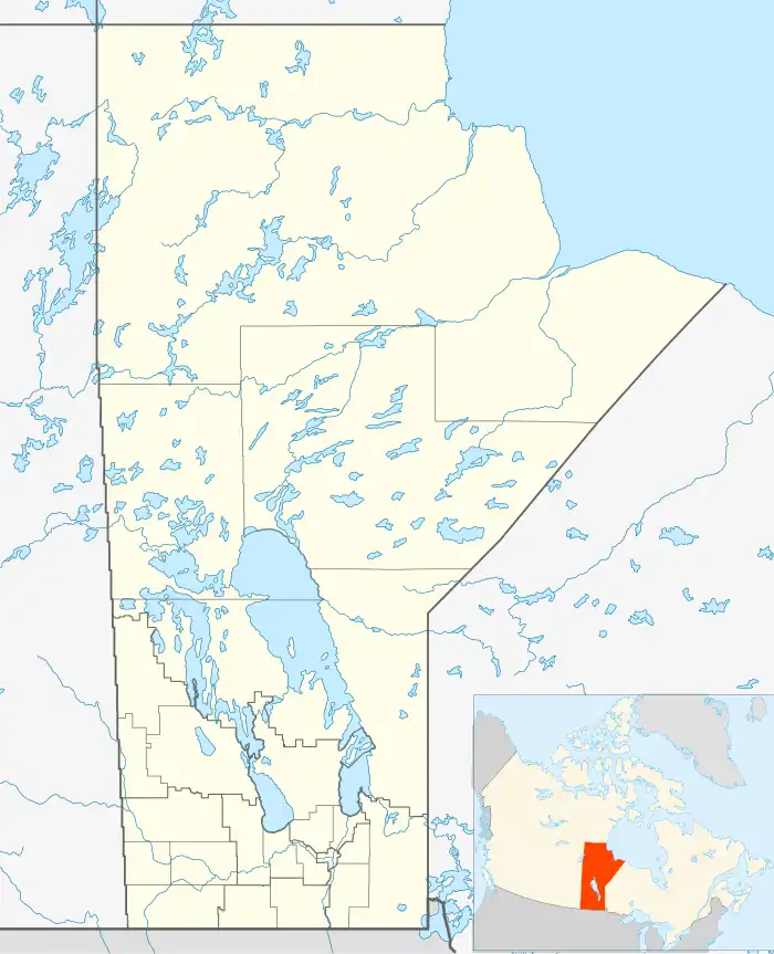
 Cottonwoods Location of Cottonwoods in Manitoba | |
| Coordinates: 49°50′59″N 99°42′0″W / 49.84972°N 99.70000°W | |
| Country | |
| Province | |
| Region | Westman |
| Census Division | No. 7 |
| Government | |
| • Governing Body | Rural Municipality of Cornwallis Council |
| • MP | Larry Maguire |
| • MLA | Cliff Cullen |
| Time zone | UTC−6 (CST) |
| • Summer (DST) | UTC−5 (CDT) |
| Area code(s) | 204, 431 |
| NTS Map | 062G13 |
| GNBC Code | GAFOR |
Cottonwoods is an unincorporated community in southwestern Manitoba, Canada. It is located in the Rural Municipality of Cornwallis, approximately 18 kilometers (11 miles) east of Brandon.[1]
References
- ↑ "Geographical Names of Canada - Querying Distances". nrcan.gc.ca. October 24, 2011. Archived from the original on April 10, 2013. Retrieved March 17, 2013.
This article is issued from Wikipedia. The text is licensed under Creative Commons - Attribution - Sharealike. Additional terms may apply for the media files.
