Council, North Carolina | |
|---|---|
 Council, North Carolina  Council, North Carolina | |
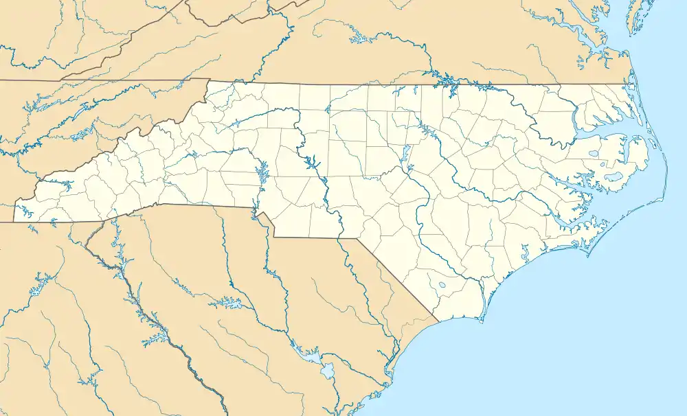
| Coordinates: 34°25′16″N 78°28′03″W / 34.42111°N 78.46750°W | |
| Country | United States |
| State | North Carolina |
| County | Bladen |
| Elevation | 69 ft (21 m) |
| Time zone | UTC-5 (Eastern (EST)) |
| • Summer (DST) | UTC-4 (EDT) |
| ZIP code | 28434 |
| Area codes | 910, 472 |
| GNIS feature ID | 983601[1] |
Council is an unincorporated community in Bladen County, North Carolina, United States. The community is located on North Carolina Highway 211, 7.9 miles (12.7 km) north-northwest of Bolton. Council has a post office with ZIP code 28434.[2][3]
Carver's Creek Methodist Church, located at Council, is listed on the National Register of Historic Places.[4]
References
- ↑ "Council". Geographic Names Information System. United States Geological Survey, United States Department of the Interior.
- ↑ United States Postal Service (2015). "USPS - Look Up a ZIP Code". Retrieved February 13, 2015.
- ↑ "Postmaster Finder - Post Offices by ZIP Code". United States Postal Service. Archived from the original on April 28, 2019. Retrieved February 13, 2015.
- ↑ "Carver's Creek Methodist Church" (PDF). NORTH CAROLINA STATE HISTORIC PRESERVATION OFFICE. Retrieved April 14, 2018.
Municipalities and communities of Bladen County, North Carolina, United States | ||
|---|---|---|
| Towns | 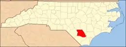 | |
| CDPs | ||
| Unincorporated communities | ||
This article is issued from Wikipedia. The text is licensed under Creative Commons - Attribution - Sharealike. Additional terms may apply for the media files.