Cowgills Corner, Delaware | |
|---|---|
.jpg.webp) Octagonal Schoolhouse | |
 Cowgills Corner  Cowgills Corner | |
| Coordinates: 39°11′45″N 75°28′49″W / 39.19583°N 75.48028°W | |
| Country | United States |
| State | Delaware |
| County | Kent |
| Elevation | 20 ft (6 m) |
| Time zone | UTC-5 (Eastern (EST)) |
| • Summer (DST) | UTC-4 (EDT) |
| Area code | 302 |
| GNIS feature ID | 216074[1] |
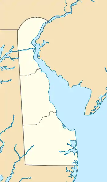
Cowgills Corner (also known as Cowgill's Corner) is an unincorporated community in Kent County, Delaware, United States. Cowgills Corner is located on Delaware Route 9, 3.5 miles (5.6 km) northeast of Dover.[2] The Octagonal Schoolhouse, which is listed on the National Register of Historic Places, is located in Cowgills Corner.[3]
History
Cowgills Corner's population was 36 in 1900.[4]
References
- ↑ "Cowgills Corner". Geographic Names Information System. United States Geological Survey, United States Department of the Interior.
- ↑ Delaware Department of Transportation (2008). Delaware Official Transportation Map (PDF) (Map). Dover: Delaware Department of Transportation.
- ↑ "National Register Information System". National Register of Historic Places. National Park Service. July 9, 2010.
- ↑ Cram's Modern Atlas: The New Unrivaled New Census Edition. J. R. Gray & Company. 1902. p. 84.
Wikimedia Commons has media related to Cowgills Corner, Delaware.
This article is issued from Wikipedia. The text is licensed under Creative Commons - Attribution - Sharealike. Additional terms may apply for the media files.