Crécy-la-Chapelle | |
|---|---|
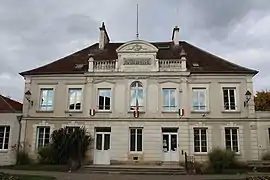 The town hall in Crécy-la-Chapelle | |
.svg.png.webp) Coat of arms | |
Location of Crécy-la-Chapelle | |
 Crécy-la-Chapelle 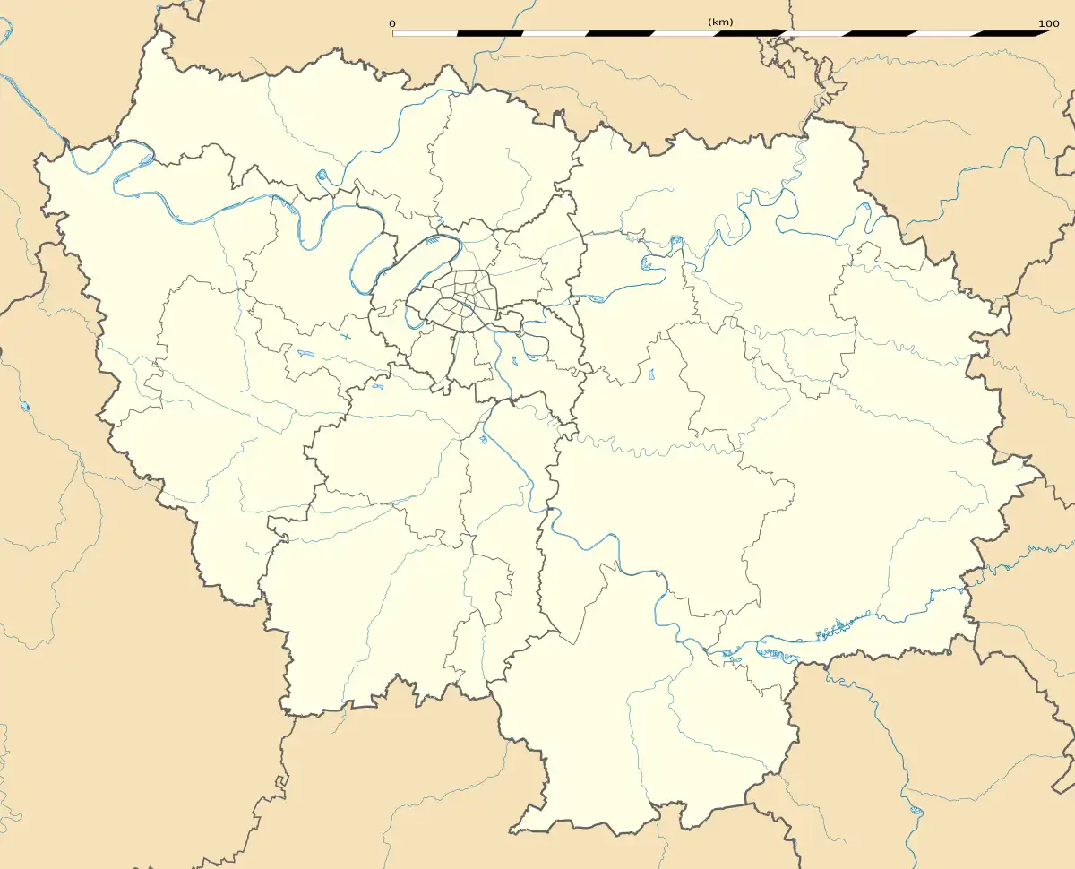 Crécy-la-Chapelle | |
| Coordinates: 48°51′23″N 2°54′40″E / 48.8563°N 2.911°E | |
| Country | France |
| Region | Île-de-France |
| Department | Seine-et-Marne |
| Arrondissement | Meaux |
| Canton | Serris |
| Intercommunality | CA Coulommiers Pays de Brie |
| Government | |
| • Mayor (2022–2026) | Christine Autenzio[1] |
| Area 1 | 15.78 km2 (6.09 sq mi) |
| Population | 4,779 |
| • Density | 300/km2 (780/sq mi) |
| Time zone | UTC+01:00 (CET) |
| • Summer (DST) | UTC+02:00 (CEST) |
| INSEE/Postal code | 77142 /77580 |
| Elevation | 45–157 m (148–515 ft) |
| 1 French Land Register data, which excludes lakes, ponds, glaciers > 1 km2 (0.386 sq mi or 247 acres) and river estuaries. | |
Crécy-la-Chapelle (French pronunciation: [kʁesi la ʃapɛl] ⓘ) is a commune in the Seine-et-Marne department in the Île-de-France region in north-central France.
Geography
Crécy-la-Chapelle is crossed by the river Grand Morin. The ground of the area is limestone. Crécy-la-Chapelle station has rail connections to Chelles and Paris.
Localities within the commune are Crécy Bourg, Montbarbin, Serbonne, la Chapelle-sur-Crécy, Libernon, Mongrolle, Férolles, Montaudier, la Grand-Cour, les Hauts-Soleil, le Choisiel, le Souterain, Montpichet.
Population
| Year | Pop. | ±% p.a. |
|---|---|---|
| 1968 | 1,928 | — |
| 1975 | 2,193 | +1.86% |
| 1982 | 2,413 | +1.38% |
| 1990 | 3,222 | +3.68% |
| 1999 | 3,851 | +2.00% |
| 2007 | 4,056 | +0.65% |
| 2012 | 4,251 | +0.94% |
| 2017 | 4,531 | +1.28% |
| Source: INSEE[3] | ||
The inhabitants are called Créçois in French.
Politics and administration
The town is twinned with
Pielenhofen ![]()
Local culture and heritage
_Coll%C3%A9giale_Tympan.jpg.webp)
Tympanum on the occidental portal of the collegiate.
Spots and monuments
- Collegiale Notre-Dame de Crécy-la-Chapelle,[4] classified monument historique since 1846.[5]
- Saint-Georges church.
- Beffroi.
- Quai des Tanneries.
- Tour aux Saints.
- War memorial for WW1 (Edme Marie Cadoux).
- The local museum is Musée de France, au sens de la loi No. 2002-5 du 4 January 2002 ; It is closed now (January 2013).
 House where lived the artist Corot.
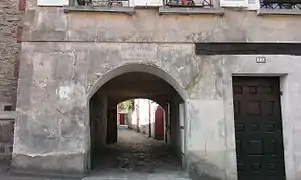 Wall walk.
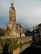 Belfry dating from the 19th century built on a tower dating from 12th century.
 War memorial.
 Vestige of the delivery service.
See also
References
- ↑ "Répertoire national des élus: les maires" (in French). data.gouv.fr, Plateforme ouverte des données publiques françaises. 6 June 2023.
- ↑ "Populations légales 2021". The National Institute of Statistics and Economic Studies. 28 December 2023.
- ↑ Population en historique depuis 1968, INSEE
- ↑ La collégiale Notre-Dame-de-l’Assomption Archived 2016-12-03 at the Wayback Machine on the official website of the cityhall. Consulté le 10 octobre 2011.
- ↑ Base Mérimée: PA00086915, Ministère français de la Culture. (in French)
External links
Wikimedia Commons has media related to Crécy-la-Chapelle.
- 1999 Land Use, from IAURIF (Institute for Urban Planning and Development of the Paris-Île-de-France région) (in English)
- Base Mérimée: Search for heritage in the commune, Ministère français de la Culture. (in French)
- Official website of the city (in French)
This article is issued from Wikipedia. The text is licensed under Creative Commons - Attribution - Sharealike. Additional terms may apply for the media files.