Saint-Soupplets | |
|---|---|
%252C_mairie_(ancien_ch%C3%A2teau_de_Maulny)%252C_all%C3%A9e_du_Ch%C3%A2teau.jpg.webp) The town hall in Saint-Soupplets | |
.svg.png.webp) Coat of arms | |
Location of Saint-Soupplets | |
 Saint-Soupplets 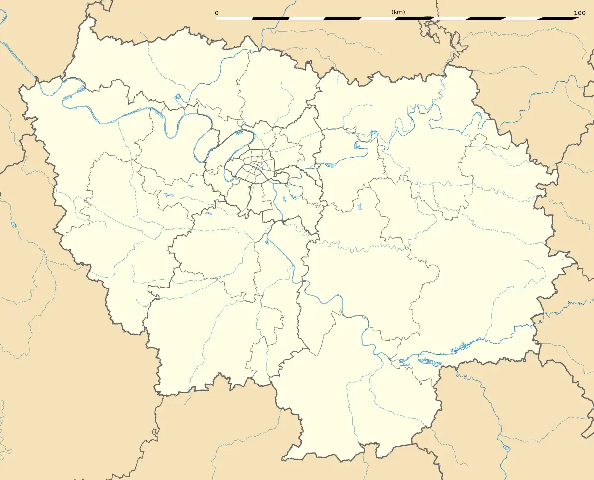 Saint-Soupplets | |
| Coordinates: 49°02′21″N 2°48′28″E / 49.0393°N 2.8077°E | |
| Country | France |
| Region | Île-de-France |
| Department | Seine-et-Marne |
| Arrondissement | Meaux |
| Canton | Claye-Souilly |
| Intercommunality | CA Pays de Meaux |
| Government | |
| • Mayor (2020–2026) | Stéphane Devauchelle[1] |
| Area 1 | 13.78 km2 (5.32 sq mi) |
| Population | 3,585 |
| • Density | 260/km2 (670/sq mi) |
| Time zone | UTC+01:00 (CET) |
| • Summer (DST) | UTC+02:00 (CEST) |
| INSEE/Postal code | 77437 /77165 |
| Elevation | 88–179 m (289–587 ft) |
| 1 French Land Register data, which excludes lakes, ponds, glaciers > 1 km2 (0.386 sq mi or 247 acres) and river estuaries. | |
Saint-Soupplets (French pronunciation: [sɛ̃ suplɛ] ⓘ) is a commune in the Seine-et-Marne department in the Île-de-France region in north-central France.
Population
| Year | Pop. | ±% p.a. |
|---|---|---|
| 1968 | 757 | — |
| 1975 | 1,122 | +5.78% |
| 1982 | 2,008 | +8.67% |
| 1990 | 2,721 | +3.87% |
| 1999 | 2,890 | +0.67% |
| 2007 | 3,300 | +1.67% |
| 2012 | 3,238 | −0.38% |
| 2017 | 3,243 | +0.03% |
| Source: INSEE[3] | ||
Inhabitants of Saint-Soupplets are called Saint-Sulpiciens in French.
See also
References
- ↑ "Répertoire national des élus: les maires" (in French). data.gouv.fr, Plateforme ouverte des données publiques françaises. 13 September 2022.
- ↑ "Populations légales 2021". The National Institute of Statistics and Economic Studies. 28 December 2023.
- ↑ Population en historique depuis 1968, INSEE
External links
Wikimedia Commons has media related to Saint-Soupplets.
- 1999 Land Use, from IAURIF (Institute for Urban Planning and Development of the Paris-Île-de-France région) (in English)
This article is issued from Wikipedia. The text is licensed under Creative Commons - Attribution - Sharealike. Additional terms may apply for the media files.