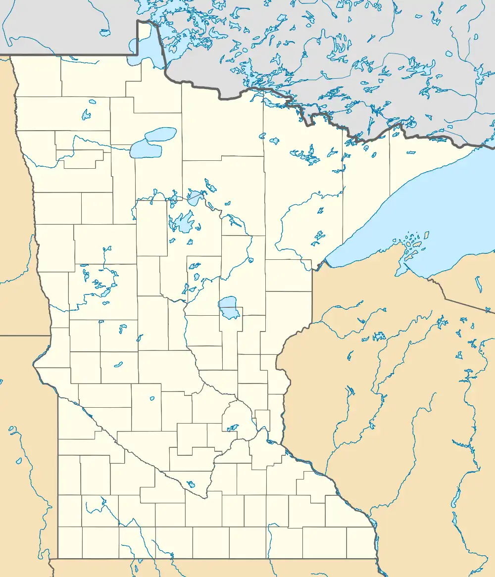
Cramer, Minnesota | |
|---|---|
 Cramer Location in Minnesota  Cramer Location in the United States | |
| Coordinates: 47°31′38″N 91°05′25″W / 47.52722°N 91.09028°W | |
| Country | United States |
| State | Minnesota |
| County | Lake |
| Elevation | 1,401 ft (427 m) |
| Population | |
| • Total | 10 |
| Time zone | UTC-6 (Central (CST)) |
| • Summer (DST) | UTC-5 (CDT) |
| Area code | 218 |
| GNIS feature ID | 655850[1] |
Cramer is an unincorporated community in Lake County, Minnesota, United States.
The community is located 23 miles northeast of Silver Bay at the intersection of Lake County Road 7 (Cramer Road) and Lake County Road 8. Cramer is located 11 miles west of Schroeder.
Cramer Lake, Kowalski Lake, and George H. Crosby Manitou State Park are in the vicinity.
Cramer is 12 miles northeast of the community of Finland on Lake County Road 7.
Cramer is located within Lake No. 1 Unorganized Territory of Lake County.
History
A post office called Cramer was established in 1911, and remained in operation until 1917.[2] The community was named for J. N. Cramer, a local pioneer merchant.[3]
References
- ↑ "Cramer". Geographic Names Information System. United States Geological Survey, United States Department of the Interior.
- ↑ "Lake County". Jim Forte Postal History. Retrieved July 17, 2015.
- ↑ Warren Upham (1920). Minnesota Geographic Names: Their Origin and Historic Significance. Minnesota Historical Society. p. 293.
This article is issued from Wikipedia. The text is licensed under Creative Commons - Attribution - Sharealike. Additional terms may apply for the media files.
