| Crocodile River | |
|---|---|
 Mouth of the Crocodile River | |
| Location | |
| Country | United States |
| State | Minnesota |
| County | Cook County |
| Physical characteristics | |
| Source | |
| • location | Crocodile Lake |
| • coordinates | 48°02′11″N 90°15′03″W / 48.0363889°N 90.2508333°W |
| Mouth | |
• location | Bearskin |
• coordinates | 48°02′04″N 90°16′53″W / 48.0343322°N 90.2814820°W |
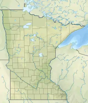
The Crocodile River is a short river in the Boundary Water Canoe Area of Cook County, Minnesota. It originates in Crocodile Lake and runs to Bearskin.[1][2][3][4]
See also
References
- ↑ U.S. Geological Survey Geographic Names Information System: Crocodile River
- ↑ "Minnesota Watersheds". Minnesota Department of Natural Resources.
- ↑ USGS Hydrologic Unit Map - State of Minnesota (1974)
- ↑ "BWCA Crocodile Lake Basecamp". Canoeing. Retrieved May 20, 2021.
This article is issued from Wikipedia. The text is licensed under Creative Commons - Attribution - Sharealike. Additional terms may apply for the media files.