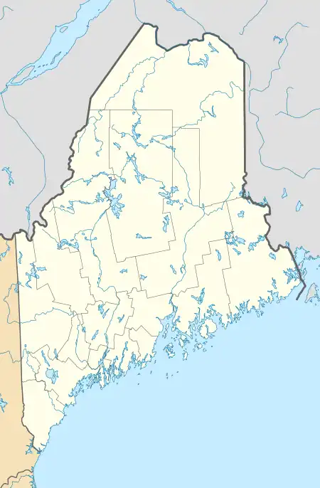
Moose Island | |
|---|---|
 Crowley Island  Crowley Island | |
| Geography | |
| Coordinates | 44°32′58″N 67°39′18″W / 44.5495226°N 67.6549949°W |
| Adjacent to | West River, Indian River |
| Area | 183 acres (74 ha) |
| Highest elevation | 23 ft (7 m) |
| Administration | |
| State | Maine |
| County | Washington |
Crowley Island is an island between the West River and the Indian River in Addison, Washington County, Maine.[1][2] Crowley Island is connected to the mainland by a bridge and Crowley Island Road. There is also a cemetery on the island.[3] Steele Point is located on the south west tip of the island.
References
- ↑ "Crowley Island". Natural Resources Council of Maine. Retrieved 26 December 2017.
- ↑ "Report For Crowley Island". USGNIS. Retrieved 26 December 2017.
- ↑ "Crowley Island Cemetery". Find a grave. Retrieved 26 December 2017.
This article is issued from Wikipedia. The text is licensed under Creative Commons - Attribution - Sharealike. Additional terms may apply for the media files.