| Da Nang Bay | |
|---|---|
| Tourane Bay | |
| Vịnh Đà Nẵng (Vietnamese) | |
.jpg.webp) Aerial view of Da Nang Bay | |
 Da Nang Bay  Da Nang Bay | |
| Location | Da Nang |
| Coordinates | 16°07′52″N 108°10′37″E / 16.13111°N 108.17694°E |
| Type | bay |
| River sources | Hàn River, Cu Đê River |
| Ocean/sea sources | South China Sea |
| Basin countries | Vietnam |
| Surface area | 116 square kilometres (45 sq mi) |
| Average depth | 8–10 metres (26–33 ft) |
| Settlements | Da Nang |
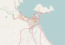
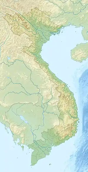
Da Nang Bay (Vietnamese: Vịnh Đà Nẵng), formerly known as Tourane Bay, is a bay of the South China Sea along the coast of Da Nang, Vietnam. The bay is entered between the Sơn Trà Peninsula and the Hải Vân Mountain, 4 miles Northwest.[1][2]
The bay has an area of 116 square kilometres (45 sq mi), a coastline of 46 kilometres (29 mi)[3] and adequate depths of 8–10 metres (26–33 ft).[4] It offers good shelter at all seasons for vessels of any size.[5] The bottom of the bay is mostly sandy, while some areas have corals and rocks. A layer of mud is immediately above this sandy bottom, making up 80% of the bay's floor.[4]
The port of Da Nang is located in the bay at the mouth of the Hàn River.[2]
See also
 Media related to Da Nang Bay at Wikimedia Commons
- Hàn River (Vietnam)
- Da Nang Port
References
- ↑ China Sea Pilot – Vol I (4 ed.). Hydrographer of the Navy. 1987. p. 166.
- 1 2 Sailing Directions (enroute) for the South China Sea and Gulf of Thailand (8 ed.). National Imagery and Mapping Agency. 2002. p. 99.
- ↑ "Vịnh Đà Nẵng". Báo Biên phòng (in Vietnamese). 2020-01-04.
- 1 2 Kết quả nghiên cứu các đề án VNRP – Tóm tắt báo cáo khoa học, Tập 1 (in Vietnamese). Nhà xuất bản Nông nghiệp. 2001. p. 131.
- ↑ Sailing directions for Western Shores of South China Sea: Singapore Strait to Hong Kong (5 ed.). Defense Mapping Agency, Hydrograhic Center. 1976. p. 176.
This article is issued from Wikipedia. The text is licensed under Creative Commons - Attribution - Sharealike. Additional terms may apply for the media files.