| Dabble Bank | |
|---|---|
 Site of Special Scientific Interest | |
| Location | MAGiC MaP |
| Nearest city | City of Durham |
| Coordinates | 54°47′5″N 1°26′5″W / 54.78472°N 1.43472°W |
| Area | 4.12 ha (10.2 acres) |
| Established | 2002 |
| Governing body | Natural England |
| Website | Dabble Bank SSSI |
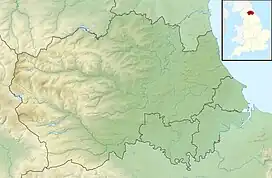
Dabble Bank is a Site of Special Scientific Interest in the County Durham district of County Durham, England. It lies about 1 km west of the village of Haswell and about 9 km east of the city of Durham.
The site is important for its communities of nationally scarce grassland on Magnesian Limestone and in particular for its unusual location, in a small valley cut into the limestone plateau. [1]
A feature of the site is grassland characterised by downy oat-grass, Avenula pubescens, this being a vegetation type which nationally has a scattered distribution on lowland limestones and which is rare in County Durham. Among the species found is the pyramidal orchid, Anacamptis pyramidalis, which is rare in the county.[1]
References
- 1 2 "Dabble Bank : Reasons for SSSI status" (PDF). Natural England. Retrieved 1 April 2022.
This article is issued from Wikipedia. The text is licensed under Creative Commons - Attribution - Sharealike. Additional terms may apply for the media files.