| Dachstein Glacier | |
|---|---|
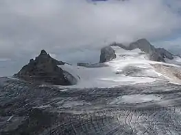
 Hoher Dachstein (2,996 metres (9,829 ft)) with Dachstein Glacier in summer, viewed from NE | |
  | |
| Location | Ramsau am Dachstein and Obertraun, Austria |
| Coordinates | 47°28′48″N 13°36′58″E / 47.48000°N 13.61611°E |
| Dachstein Glacier ski area | |
|---|---|
| Nearest major city | Salzburg |
| Top elevation | 2,700 metres (8,900 ft) |
| Base elevation | 2,057 metres (6,749 ft) |
| Lift system | 5 total (1 Cable Car, 1 Double Seat chairlift, 3 Tow Lifts) |
| Terrain parks | 1, Atomic Superpark |
| Website | http://www.planai.at/dachstein/ |
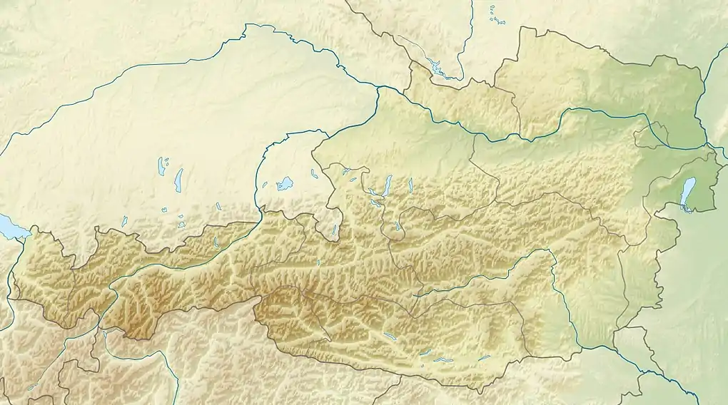
Dachstein Glacier is a glacier[1] located between the towns of Ramsau am Dachstein in the south and Hallstatt and Obertraun in the north, in Austria. Snow is at the top of the glacier throughout the year. However snow is soft in summer. This mountain is located at the borders of Salzburg, Upper Austria and Styria. The train stops at Schladming and from there is a bus to the village below the Dachstein Mountains.
Skiing
The Dachstein is a popular ski area[1] that remains snow-covered for much of the year. Descents are between 2,700 m and 2,264 m, it has three drag lifts and one two-seater chairlift (all on the eastern part of the glacier, called Schladminger Gletscher, in the municipality of Obertraun), as well as the cable car from Ramsau to take people up to the glacier.
Gallery
 Schladminger Gletscher in summer, view to east
 Schladminger Gletscher in summer, view to north-west
 Schladminger Gletscher in summer, view to east
 Schladminger Gletscher in winter, view to south-east
References
- 1 2 "WELCOME TO THE DACHSTEIN GLACIER". Derdachstein. Planai-Hochwurzen-Bahnen Gesellschaft m.b.H. Retrieved 20 January 2016.
External links
- Tourist Site Archived 2019-07-28 at the Wayback Machine
- Planai Site Archived 2008-08-01 at the Wayback Machine