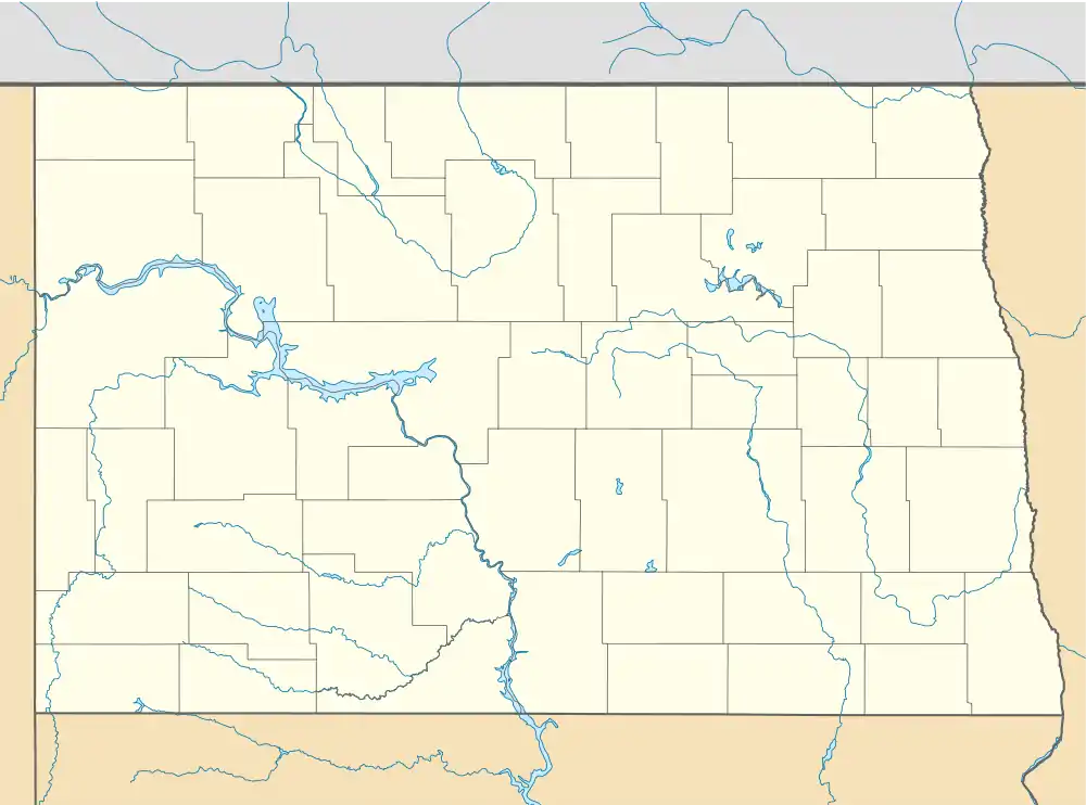
Dahlen, North Dakota | |
|---|---|
 | |
 Dahlen, North Dakota Location within the state of North Dakota | |
| Coordinates: 48°09′32″N 97°55′57″W / 48.15889°N 97.93250°W[1] | |
| Country | United States |
| State | North Dakota |
| County | Nelson |
| Founded | 1912 |
| Founded by | Elling Nilsen Dahlen |
| Area | |
| • Total | 0.14 sq mi (0.36 km2) |
| • Land | 0.14 sq mi (0.36 km2) |
| • Water | 0.00 sq mi (0.00 km2) |
| Elevation | 1,414 ft (431 m) |
| Population (2020) | |
| • Total | 17 |
| • Density | 121.43/sq mi (46.96/km2) |
| Time zone | UTC-6 (Central (CST)) |
| • Summer (DST) | UTC-5 (CDT) |
| ZIP code | 58224 |
| Area code | 701 |
| FIPS code[3] | 38-17620 |
| GNIS feature ID | 2584339[1] |
Dahlen (Urban East Norwegian: [ˈdɑːɳ]) is a census-designated place and an unincorporated community in Nelson County, North Dakota, United States. It was not counted separately during the 2000 census,[4] but was included in the 2010 census,[5] where a population of 18 was reported. The population was 17 at the 2020 census.[6]
Dahlen is also the home to North Dakota's third tallest tower, the WDAZ TV Tower, which is 445.2 meters (1,461 feet) tall. The tower is used by television station WDAZ of Grand Forks. The tower was also used by KGFE of Grand Forks until an ice storm damaged equipment in 2004.
Demographics
| Census | Pop. | Note | %± |
|---|---|---|---|
| 2010 | 18 | — | |
| 2020 | 17 | −5.6% | |
| U.S. Decennial Census[7] 2020 Census[6] | |||
References
- 1 2 3 U.S. Geological Survey Geographic Names Information System: Dahlen, North Dakota
- ↑ "ArcGIS REST Services Directory". United States Census Bureau. Retrieved September 20, 2022.
- ↑ "U.S. Census website". United States Census Bureau. Retrieved January 31, 2008.
- ↑ U.S. Census Bureau (2003). "Population and Housing Unit Counts, North Dakota" (PDF). 2000 Census of Population and Housing. Government Printing Office. Retrieved July 20, 2008.
- ↑ U.S. Census Bureau (February 13, 2008). "Census Designated Place (CDP) Program for the 2010 Census—Final Criteria" (PDF). Federal Register. Archived from the original (PDF) on October 18, 2010. Retrieved July 13, 2010.
- 1 2 "2020 Census Redistricting Data (Public Law 94-171) Summary File". American FactFinder. United States Census Bureau. Retrieved May 14, 2022.
- ↑ United States Census Bureau. "Census of Population and Housing". Retrieved February 15, 2014.
This article is issued from Wikipedia. The text is licensed under Creative Commons - Attribution - Sharealike. Additional terms may apply for the media files.
