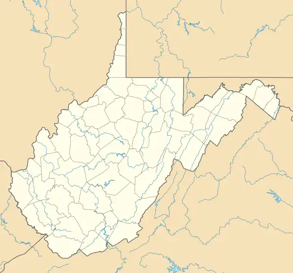
Dailey, West Virginia | |
|---|---|
Census-designated place (CDP) | |
 Dailey, West Virginia | |
| Coordinates: 38°47′55″N 79°53′46″W / 38.79861°N 79.89611°W | |
| Country | United States |
| State | West Virginia |
| County | Randolph |
| Area | |
| • Total | 0.506 sq mi (1.31 km2) |
| • Land | 0.506 sq mi (1.31 km2) |
| • Water | 0 sq mi (0 km2) |
| Elevation | 1,969 ft (600 m) |
| Population | |
| • Total | 114 |
| • Density | 230/sq mi (87/km2) |
| Time zone | UTC-5 (Eastern (EST)) |
| • Summer (DST) | UTC-4 (EDT) |
| ZIP code | 26259 |
| Area code(s) | 304 & 681 |
| GNIS feature ID | 1550867[2] |
Dailey is a census-designated place (CDP) in Randolph County, West Virginia, United States. Dailey is located on U.S. routes 219 and 250, 3 miles (4.8 km) south-southwest of Beverly. Dailey has a post office with ZIP code 26259.[4] As of the 2010 census, its population was 114.[3]
Located near Dailey is the Tygart Valley Homesteads Historic District, listed on the National Register of Historic Places in 2004.[5]
Climate
This climatic region is typified by large seasonal temperature differences, with warm to hot (and often humid) summers and cold (sometimes severely cold) winters. According to the Köppen Climate Classification system, Dailey has a humid continental climate, abbreviated "Dfb" on climate maps.[6]
References
- ↑ "US Gazetteer files: 2010, 2000, and 1990". United States Census Bureau. February 12, 2011. Retrieved April 23, 2011.
- 1 2 U.S. Geological Survey Geographic Names Information System: Dailey, West Virginia
- 1 2 "U.S. Census website". United States Census Bureau. Retrieved May 14, 2011.
- ↑ ZIP Code Lookup
- ↑ "National Register Information System". National Register of Historic Places. National Park Service. July 9, 2010.
- ↑ Climate Summary for Dailey, West Virginia
External links
This article is issued from Wikipedia. The text is licensed under Creative Commons - Attribution - Sharealike. Additional terms may apply for the media files.
