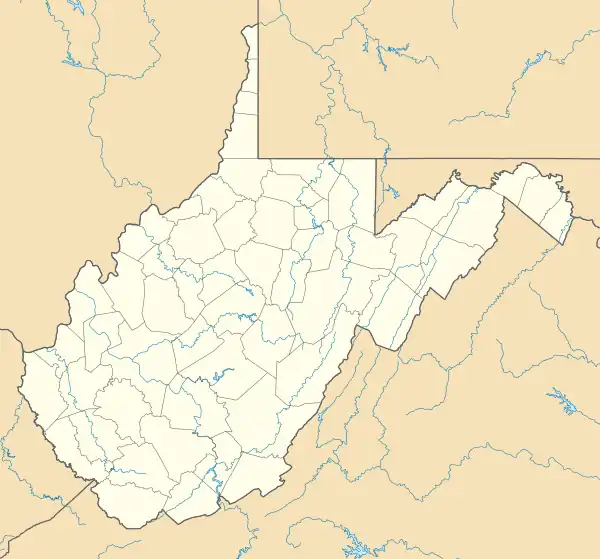
Elkwater, West Virginia | |
|---|---|
 Elkwater, West Virginia  Elkwater, West Virginia | |
| Coordinates: 38°38′11″N 80°00′55″W / 38.63639°N 80.01528°W | |
| Country | United States |
| State | West Virginia |
| County | Randolph |
| Elevation | 2,123 ft (647 m) |
| Time zone | UTC-5 (Eastern (EST)) |
| • Summer (DST) | UTC-4 (EDT) |
| Area code(s) | 304 & 681 |
| GNIS feature ID | 1551046[1] |
Elkwater is an unincorporated community in Randolph County, West Virginia, United States. Elkwater is located on U.S. Route 219 and West Virginia Route 55 along the Tygart Valley River, 5.6 miles (9.0 km) south-southwest of Huttonsville.[2]
The community takes its name from nearby Elkwater Fork creek.[3]
History
A Union artillery fortification known as Camp Elkwater was built at Elkwater Fork in the summer of 1861 in what was then western Virginia. 3,000 Federal troops under General Joseph J. Reynolds were sent in September 1861 to repel the forces of General Robert E Lee in the wake of the Battle of Cheat Mountain.[4]
References
- 1 2 U.S. Geological Survey Geographic Names Information System: Elkwater
- ↑ Randolph County, West Virginia General Highway Map (PDF) (Map). West Virginia Department of Transportation. 2011. p. 3. Archived from the original (PDF) on April 25, 2012. Retrieved November 9, 2011.
- ↑ Kenny, Hamill (1945). West Virginia Place Names: Their Origin and Meaning, Including the Nomenclature of the Streams and Mountains. Piedmont, WV: The Place Name Press. p. 228.
- ↑ "Forgotten Fortification Saved at Elkwater", Intermountain News, 16 May 2009, cited at Rich Mountain Battlefield Association, retrieved 13 Jan 2020
This article is issued from Wikipedia. The text is licensed under Creative Commons - Attribution - Sharealike. Additional terms may apply for the media files.
