| Dansam | |
|---|---|
 Dansam Location in Gilgit-Baltistan  Dansam Dansam (Gilgit Baltistan) | |
| Highest point | |
| Elevation | 6,568 m (21,549 ft) |
| Prominence | 1,226 m (4,022 ft) |
| Coordinates | 35°14′29″N 76°48′32″E / 35.241389°N 76.808889°E |
| Geography | |
| Location | Gilgit-Baltistan |
| Climbing | |
| First ascent | No records |
Dansam (also known as K13) is a 6,568 m (21,549 ft) mountain peak in the west of the Saltoro Mountains, part of Karakorum Range.[1]
Location
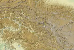
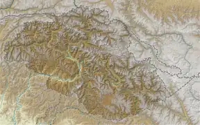
Dansam is located in the disputed border region between the Pakistani territory of Gilgit-Baltistan (the former Northern Territories) and the Indian Kashmir region to the south-west of the Siachen Glacier. The mountain forms the highest peak of a ridge that runs between the river valleys of Kondus in the northwest and Dansam river in the south and east. The peak is located almost 24 km south-southwest of the Saltoro Kangri 7,742 m (25,400 ft), the highest point of the Saltoro Mountains, and 21 km west of the Chumik Kangri 6,754 m (22,159 ft), which is the dominance reference point. The prominence is 1,226 m (4,022 ft).
Climbing history
No ascents of Dansam Peak are documented.[2]
External links
- Karte, himalaya-info.org
References
- ↑ "Dansam". PeakVisor. Retrieved 2022-04-16.
- ↑ "Alpine Club". www.alpine-club.org.uk. Retrieved 2022-04-16.