Dargov
Dargó | |
|---|---|
Village | |
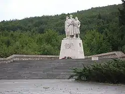 World War II Memorial in Dargov | |
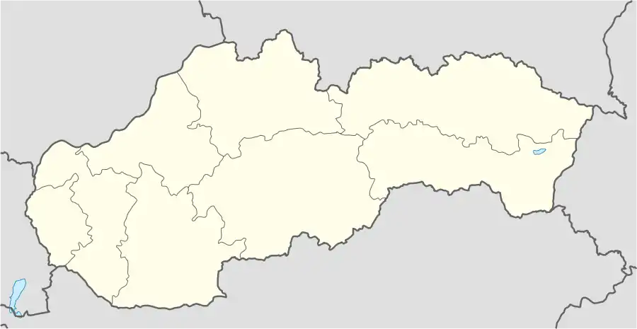 Dargov Location of Dargov in Slovakia | |
| Coordinates: 48°44′N 21°35′E / 48.733°N 21.583°E | |
| Country | Slovakia |
| Region | Košice |
| District | Trebišov |
| First mentioned | 1458 |
| Area | |
| • Total | 21.88[1] km2 (8.45[1] sq mi) |
| Elevation | 259[2] m (850[2] ft) |
| Population (2021) | |
| • Total | 603[3] |
| Postal code | 076 61[2] |
| Area code | +421 56[2] |
| Car plate | TV |
Dargov (Slovak pronunciation: [ˈdarɡɔw]; 1948-1964 Drahov; Hungarian: Dargó) is a village and municipality in the Trebišov District in the Košice Region of eastern Slovakia.
History
The village was first mentioned as Dorgo in a charter in 1458. It belonged to several owners: the nobles Semsey and Széchy, the castle of Sečovce (Csapy family), and a part of the town of Trebišov. In the 19th century it belonged to the noble landowners Andrássy, Berzeviczy and Forgách. In 1944, it was burned down by the German Army.
Genealogical resources
The records for genealogical research are available at the state archive "Statny Archiv in Kosice, Slovakia"
See also
References
- 1 2 "Hustota obyvateľstva - obce [om7014rr_ukaz: Rozloha (Štvorcový meter)]". www.statistics.sk (in Slovak). Statistical Office of the Slovak Republic. 2022-03-31. Retrieved 2022-03-31.
- 1 2 3 4 "Základná charakteristika". www.statistics.sk (in Slovak). Statistical Office of the Slovak Republic. 2015-04-17. Retrieved 2022-03-31.
- ↑ "Počet obyvateľov podľa pohlavia - obce (ročne)". www.statistics.sk (in Slovak). Statistical Office of the Slovak Republic. 2022-03-31. Retrieved 2022-03-31.
External links
This article is issued from Wikipedia. The text is licensed under Creative Commons - Attribution - Sharealike. Additional terms may apply for the media files.