Davda | |
|---|---|
village | |
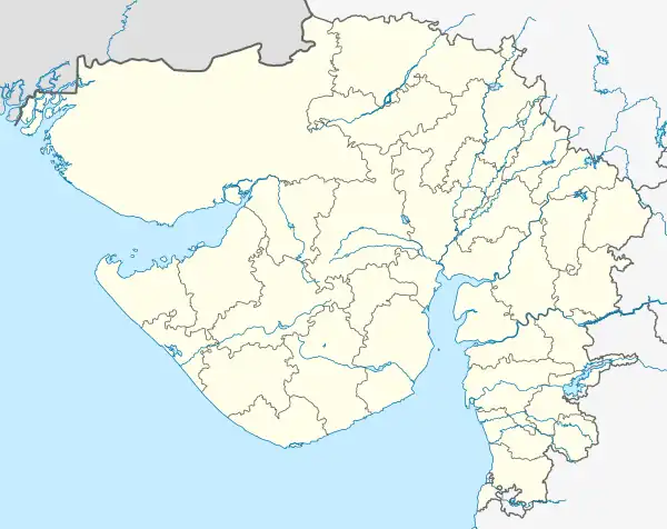
 Davda Location in Gujarat | |
| Coordinates: 22°41′49″N 72°47′41″E / 22.69694°N 72.79472°E | |
| Country | India |
| State | Gujarat |
| District | Kheda |
| Taluka or Community development block | Nadiad Taluka |
| Population (2011)[1] | |
| • Total | 4,005 |
| Time zone | UTC+5:30 (IST) |
| PIN | 387350[2] |
Davda is a panchayat village in the Indian state of Gujarat. It is part of Nadiad (rural) Taluka of Kheda district.[2] It is nine kilometers west of the town of Nadiad.[3] Davda has a branch Post Office with a sub-office in nearby Palana.[4][3]
As of the census of 2011, there were 867 households in the village and its population was 4,005.[1] With a total area of 462.89 hectares (1,143.8 acres), it had, in 2011, 407 hectares (1,010 acres) under cultivation, over 90% of which was irrigated land,[5] through Mahi Kadana Irrigation network.[6] There is significant income from fish culture in the village ponds, including Davda Lake.[6]
Notes and references
- 1 2 District Census Handbook – Kheda (PDF) (Report). Directorate of Census Operations Gujarat. 2011. p. 348. Archived (PDF) from the original on 31 January 2017.
- 1 2 "Davda Pin Code". Archived from the original on 7 November 2021.
- 1 2 Google Maps
- ↑ "Davda Post Office, Nadiad". Post Office Information Directory of India. Archived from the original on 13 November 2021.
- ↑ District Census Handbook – Kheda (PDF) (Report). Directorate of Census Operations Gujarat. 2011. p. 356. Archived (PDF) from the original on 31 January 2017.
- 1 2 Kant, Rajni; Haq, Sarfaraz Ul; Srivastava, Harishchandra; Sharma, V. P. (2013). "Review of the bioenvironmental methods for malaria control with special reference to the use of larvivorous fishes and composite fish culture in central Gujarat, India". Journal of Vector Borne Diseases. 50 (1): 1–12, page 8. PMID 23703433.
This article is issued from Wikipedia. The text is licensed under Creative Commons - Attribution - Sharealike. Additional terms may apply for the media files.