Davidson County Airport | |||||||||||
|---|---|---|---|---|---|---|---|---|---|---|---|
| Summary | |||||||||||
| Airport type | Public | ||||||||||
| Owner | Davidson County Airport Authority | ||||||||||
| Serves | Lexington, North Carolina | ||||||||||
| Elevation AMSL | 733 ft / 223 m | ||||||||||
| Coordinates | 35°46′52″N 080°18′14″W / 35.78111°N 80.30389°W | ||||||||||
| Map | |||||||||||
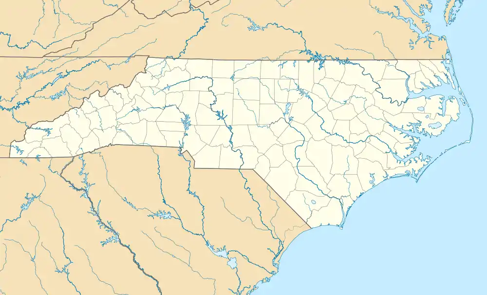
 EXX Location of airport in North Carolina | |||||||||||
| Runways | |||||||||||
| |||||||||||
| Statistics (2012) | |||||||||||
| |||||||||||
Davidson County Airport (ICAO: KEXX, FAA LID: EXX) is a public use airport in Davidson County, North Carolina, United States.[1] It is owned by the Davidson County Airport Authority and located three nautical miles (6 km) southwest of the central business district of Lexington, North Carolina.[1] It is included in the National Plan of Integrated Airport Systems for 2011–2015, which categorized it as a general aviation facility.[2]
Although most U.S. airports use the same three-letter location identifier for the FAA and IATA, this airport is assigned EXX by the FAA,[1] but has no designation from the IATA.[3][4]
Facilities and aircraft
Davidson County Airport covers an area of 330 acres (133 ha) at an elevation of 733 feet (223 m) above mean sea level. It has one runway designated 6/24 with an asphalt surface measuring 5,004 by 100 feet (1,525 x 30 m).[1]
For the 12-month period ending April 30, 2015, the airport had 19,000 aircraft operations, an average of 52 per day: 89% general aviation, 6% air taxi, and 6% military. At that time there were 75 aircraft based at this airport: 66% single-engine, 20% multi-engine, 8% jet, and 6% helicopter.[1]
The Davidson County Airport offers complete aircraft maintenance from the on field maintenance provider, Superior Aero Services.
Incidents
On October 23, 2011, a Cozy MK IV aircraft crashed on approach to the airport, resulting in the death of the pilot and an injury to the passenger.[5][6]
On June 25, 2018, a Stearman Biplane flipped on landing coming to rest upside down on the runway, resulting in minor injuries to both the pilot and a child passenger.[7]
See also
References
- 1 2 3 4 5 6 FAA Airport Form 5010 for EXX PDF. Federal Aviation Administration. Effective November 15, 2012.
- ↑ "2011–2015 NPIAS Report, Appendix A" (PDF). National Plan of Integrated Airport Systems. Federal Aviation Administration. October 4, 2010. Archived from the original (PDF, 2.03 MB) on 2012-09-27.
- ↑ "Davidson County Airport (FAA: EXX, ICAO: KEXX, IATA: none)". Great Circle Mapper. Retrieved December 19, 2012.
- ↑ "IATA Airport Code Search". International Air Transport Association. Retrieved December 19, 2012.
- ↑ Ignasiak, Darrick (October 23, 2011). "Plane crashes at Davidson County Airport". The Dispatch.
- ↑ "NTSB Identification: ERA12FA021". National Transportation Safety Board.
- ↑ "Plane crash reported at Davidson County Airport". spectrumlocalnews.com. Retrieved 2019-11-12.
External links
- "Davidson County Airport - EXX" (PDF). at North Carolina DOT airport guide
- Fly High Lexington, the fixed-base operator (FBO)
- Aerial image as of March 1998 from USGS The National Map
- FAA Terminal Procedures for EXX, effective December 28, 2023
- Resources for this airport:
- FAA airport information for EXX
- AirNav airport information for KEXX
- FlightAware airport information and live flight tracker
- NOAA/NWS weather observations: current, past three days
- SkyVector aeronautical chart, Terminal Procedures