Davisville | |
|---|---|
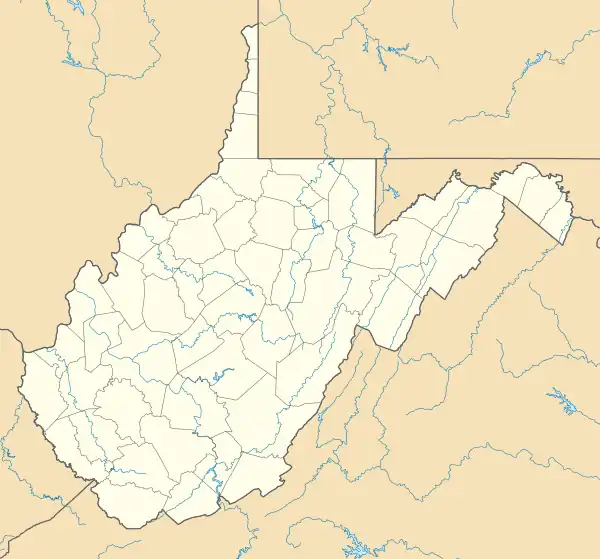 Davisville Location within the state of West Virginia  Davisville Davisville (the United States) | |
| Coordinates: 39°12′4″N 81°29′54″W / 39.20111°N 81.49833°W | |
| Country | United States |
| State | West Virginia |
| County | Wood |
| Time zone | UTC-5 (Eastern (EST)) |
| • Summer (DST) | UTC-4 (EDT) |
| ZIP codes | 26142 |
Davisville (also Clairville or Claysville) is an unincorporated community in Wood County, West Virginia, United States. Its elevation is 620 feet (189 m).[1] It has a post office with the ZIP code 26142.[2] The North Bend Rail Trail passes through the community.[3]
References
- ↑ U.S. Geological Survey Geographic Names Information System: Davisville, West Virginia, Geographic Names Information System, 1980-06-27. Accessed 2008-04-22.
- ↑ Zip Code Lookup
- ↑ DeLorme (1997). West Virginia Atlas & Gazetteer. Yarmouth, Maine: DeLorme. ISBN 0-89933-246-3.
Municipalities and communities of Wood County, West Virginia, United States | ||
|---|---|---|
| Cities |  Map of West Virginia highlighting Wood County | |
| Town | ||
| CDPs | ||
| Unincorporated communities |
| |
| Ghost towns | ||
This article is issued from Wikipedia. The text is licensed under Creative Commons - Attribution - Sharealike. Additional terms may apply for the media files.