De Winton/South Calgary Airport | |||||||||||||||
|---|---|---|---|---|---|---|---|---|---|---|---|---|---|---|---|
| Summary | |||||||||||||||
| Airport type | Private | ||||||||||||||
| Operator | Cordillera Petroleum of Canada Ltd. | ||||||||||||||
| Location | Foothills No. 31, near De Winton, Alberta | ||||||||||||||
| Time zone | MST (UTC−07:00) | ||||||||||||||
| • Summer (DST) | MDT (UTC−06:00) | ||||||||||||||
| Elevation AMSL | 3,355 ft / 1,023 m | ||||||||||||||
| Coordinates | 50°49′19″N 113°49′28″W / 50.82194°N 113.82444°W | ||||||||||||||
| Map | |||||||||||||||
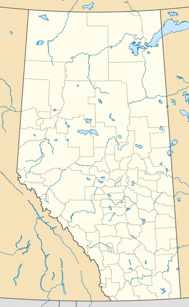 CEH4 Location in Alberta | |||||||||||||||
| Runways | |||||||||||||||
| |||||||||||||||
Source: Canada Flight Supplement[1] | |||||||||||||||
De Winton/South Calgary Airport (TC LID: CEH4) is located 7 nautical miles (13 km; 8.1 mi) east of De Winton, Alberta, Canada.
During World War II the aerodrome was known as RCAF Station De Winton, and hosted a Royal Air Force (RAF) elementary flying training school which eventually became part of the British Commonwealth Air Training Plan.
See also
References
External links
- Page about this airport on COPA's Places to Fly airport directory
| By name | |
|---|---|
| By location indicator | |
| By province/territory | |
| By area | |
| National Airports System | |
| Related | |
| |
This article is issued from Wikipedia. The text is licensed under Creative Commons - Attribution - Sharealike. Additional terms may apply for the media files.