Dekernes
دكرنس | |
|---|---|
Town | |
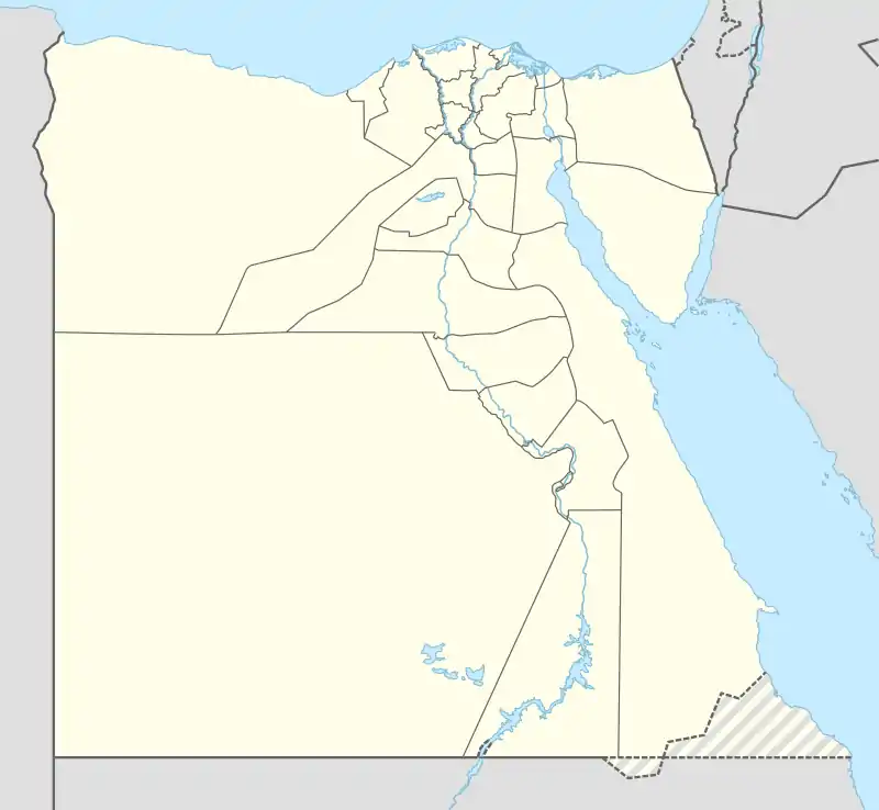 Dekernes Location in Egypt | |
| Coordinates: 31°5′18″N 31°35′49″E / 31.08833°N 31.59694°E | |
| Country | |
| Governorate | Dakahlia |
| Area | |
| • Total | 238.6 km2 (92.1 sq mi) |
| Elevation | 8 m (26 ft) |
| Population (2012)[1] | |
| • Total | 372,871 |
| • Density | 1,600/km2 (4,000/sq mi) |
| Time zone | UTC+2 (EET) |
| Area code | (+20) 50 |
Dekernes (Egyptian Arabic: دكرنس [deˈkeɾnes]) is a town in the center of the Dakahlia Governorate of Egypt. It is situated about 20 km east of Mansoura, the capital of Dakahlia.
Etymology
The town's name is pre-Arabic, but the exact etymology is unknown.[2] Czapkiewicz suggests that it is derived from a Hellenised version of Ancient Egyptian: tꜣ-qrnr, lit. 'land of Qerner (an epithet of Osiris)' through Coptic: ⲧⲉⲕⲉⲣⲛⲓϭ/ⲧⲉⲕⲉⲣⲛⲓ.[3]
Education
The town is home to one of the oldest High schools in Egypt, Ali Mubarak School, which was built in 1911.
Climate
Dekernes is classified by Köppen-Geiger climate classification system as hot desert (BWh).
| Climate data for Dekernes | |||||||||||||
|---|---|---|---|---|---|---|---|---|---|---|---|---|---|
| Month | Jan | Feb | Mar | Apr | May | Jun | Jul | Aug | Sep | Oct | Nov | Dec | Year |
| Mean daily maximum °C (°F) | 17.9 (64.2) |
19 (66) |
21.5 (70.7) |
25.4 (77.7) |
30.1 (86.2) |
31.7 (89.1) |
31.9 (89.4) |
32.2 (90.0) |
30.9 (87.6) |
28.2 (82.8) |
24.4 (75.9) |
19.7 (67.5) |
26.1 (78.9) |
| Daily mean °C (°F) | 12.5 (54.5) |
13.4 (56.1) |
15.6 (60.1) |
18.9 (66.0) |
22.8 (73.0) |
25.2 (77.4) |
26.5 (79.7) |
26.6 (79.9) |
25.1 (77.2) |
22.9 (73.2) |
19.3 (66.7) |
14.5 (58.1) |
20.3 (68.5) |
| Mean daily minimum °C (°F) | 7.2 (45.0) |
7.8 (46.0) |
9.8 (49.6) |
12.4 (54.3) |
15.5 (59.9) |
18.7 (65.7) |
21.1 (70.0) |
21 (70) |
19.3 (66.7) |
17.7 (63.9) |
14.3 (57.7) |
9.4 (48.9) |
14.5 (58.1) |
| Average precipitation mm (inches) | 15 (0.6) |
9 (0.4) |
6 (0.2) |
4 (0.2) |
3 (0.1) |
0 (0) |
0 (0) |
0 (0) |
0 (0) |
5 (0.2) |
8 (0.3) |
11 (0.4) |
61 (2.4) |
| Source: Climate-Data.org[4] | |||||||||||||
Villages
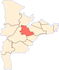
Location of Dekernes | |
|---|---|
 |
Dekernes is the main city in markaz Dekernes. It is surrounded by many small villages which form a part of markaz Dekernes such as:
Local unit of Demouh:
- Demouh
- El Qibab El Kubra
- El Qibab El Sughra
- Kafr El Qibab
- El Gazeera
- Meit Dhafer
- El Mersaah
- Kafr Abdel Mo'men
Local unit of Demeshalt:
- Demeshalt
- Meit El Nahhal
- Kafr El Baz
Local unit of Negeir:
- Negeir
- El Qalyubiya
- El Azazna
- Kafr Abu Nasser
Others:
- El Mahmoudiya
- Manshat Abdel-Rahman
- Ashmun El Rumman (According to Gauthier, the original village name was "Chemoun Erman", a Coptic name, from which today's name is derived[5])
- Mit Tareif
- Mit Sudan
- Mit Sewiyd
- Mit Sharaf
- Mit Fares
Notable people
- Sami Al-Adl, an actor and producer.[6]
Projects
In 2018 money was earmarked by the Egyptian Government for infrastructure projects in Dekernes.[7]
References
- 1 2 "Dikirnis (Markaz, Egypt) - Population Statistics, Charts, Map and Location". citypopulation.de. Retrieved 17 March 2023.
- ↑ Peust, Carsten. "Die Toponyme vorarabischen Ursprungs im modernen Ägypten" (PDF). p. 35.
- ↑ Czapkiewicz, Andrzej (1971). Ancient Egyptian and Coptic Elements in the Toponomy of Contemporary Egypt. p. 24.
- ↑ "Climate: Dekernes - Climate graph, Temperature graph, Climate table". Climate-Data.org. Retrieved 13 August 2013.
- ↑ Bulletin de l'Institut d'Égypte (in Arabic). l'Institut français d'archeologie orientale. 1971-01-01.
- ↑ "وفاة الفنان سامى العدل". today.almasryalyoum.com. Retrieved 2018-12-01.
- ↑ "Egypt to carry out $550mln sanitary project". Thomson Reuters Projects MENA. Mubasher.
| 1,000,000 and more | |
|---|---|
| 300,000–999,999 | |
| 100,000–299,999 | |
| <99,999 | |