Den Hout | |
|---|---|
Village | |
 Inn 't Klosterke | |
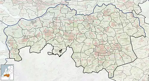 Den Hout Location in the province of North Brabant in the Netherlands 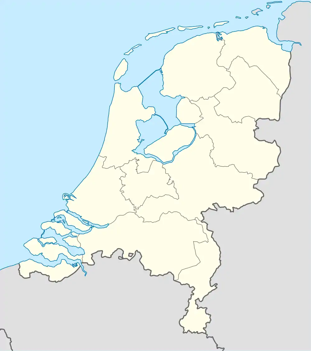 Den Hout Den Hout (Netherlands) | |
| Coordinates: 51°39′28″N 4°48′42″E / 51.65778°N 4.81167°E | |
| Country | Netherlands |
| Province | North Brabant |
| Municipality | Oosterhout |
| Area | |
| • Total | 7.91 km2 (3.05 sq mi) |
| Elevation | 2.3 m (7.5 ft) |
| Population (2021)[1] | |
| • Total | 1,235 |
| • Density | 160/km2 (400/sq mi) |
| Time zone | UTC+1 (CET) |
| • Summer (DST) | UTC+2 (CEST) |
| Postal code | 4911[1] |
| Dialing code | 0162 |
Den Hout is a village in the Dutch province of North Brabant. It is located in the municipality of Oosterhout.[3][4]
The village was first mentioned in 1311 as "Rolinus dictus van den Houte", and means deciduous forest.[5] The area around Den Hout was settled during Roman times, but abandoned in 273.[4] Den Hout developed in the Middle Ages around a triangular village square.[6]
The St Cornelius Church was built between 1877 and 1878 in Gothic Revival style and as an octagon spire.[6]
Den Hout was home to 650 people in 1840.[4]
Gallery
 Pavillion Het Houtse Meer
.jpg.webp) St Cornelius Church
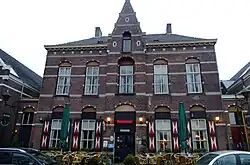
St Cornelius Church Association building
 School in Den Hout
References
- 1 2 3 "Kerncijfers wijken en buurten 2021". Central Bureau of Statistics. Retrieved 18 April 2022.
- ↑ "Postcodetool for 4911AA". Actueel Hoogtebestand Nederland (in Dutch). Het Waterschapshuis. Retrieved 18 April 2022.
- ↑ "Den Hout". www.denhout.eu. Retrieved Jan 10, 2020.
- 1 2 3 "Den Hout". Plaatsengids (in Dutch). Retrieved 18 April 2022.
- ↑ "Den Hout - (geografische naam)". Etymologiebank (in Dutch). Retrieved 18 April 2022.
- 1 2 Chris Kolman & Ronald Stenvert (1997). Den Hout (in Dutch). Zwolle: Waanders. ISBN 90 400 9945 6. Retrieved 18 April 2022.
Wikimedia Commons has media related to Den Hout.
This article is issued from Wikipedia. The text is licensed under Creative Commons - Attribution - Sharealike. Additional terms may apply for the media files.