Denison | |
|---|---|
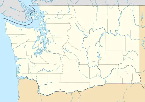
 Denison Location within the state of Washington | |
| Coordinates: 47°54′35″N 117°26′19″W / 47.90972°N 117.43861°W | |
| Country | United States |
| State | Washington |
| County | Spokane |
| Elevation | 1,990 ft (610 m) |
| Time zone | UTC-8 (Pacific (PST)) |
| • Summer (DST) | UTC-7 (PDT) |
| ZIP codes | 99006 |
| GNIS feature ID | 1510912[1] |
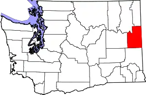
Denison is an unincorporated community in Spokane County, in the U.S. state of Washington.[2] The community is located on U.S. Route 395 19 miles due north of Downtown Spokane and about seven miles beyond that city's northern suburban developments. Denison lends its name to two roads in the area, Denison Road and Denison-Chattaroy Road, both of which intersect with Route 395 in the immediate vicinity of Denison. The city of Deer Park is four miles to the north.
History
A post office called Denison was established in 1908, and remained in operation until 1967.[3] The community was named after the maiden name of an early settler's wife.[4]
References
- ↑ U.S. Geological Survey Geographic Names Information System: Denison, Washington
- ↑ U.S. Geological Survey Geographic Names Information System: Denison, Washington
- ↑ "Post Offices". Jim Forte Postal History. Archived from the original on March 6, 2016. Retrieved July 29, 2016.
- ↑ Meany, Edmond S. (1923). Origin of Washington geographic names. Seattle: University of Washington Press. p. 67.
This article is issued from Wikipedia. The text is licensed under Creative Commons - Attribution - Sharealike. Additional terms may apply for the media files.
