Deoli | |
|---|---|
city | |
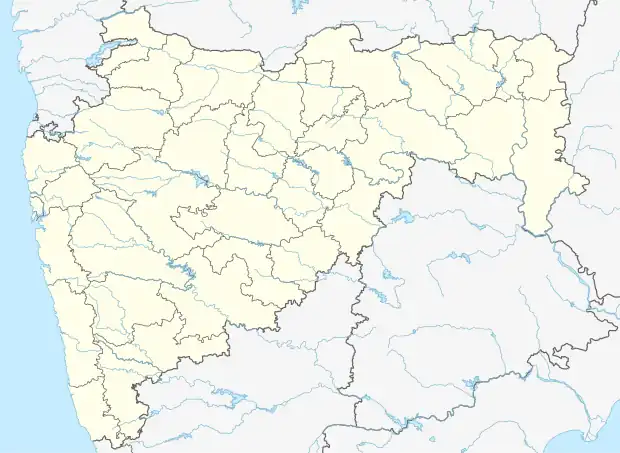 Deoli Location in Maharashtra, India | |
| Coordinates: 20°40′N 78°29′E / 20.67°N 78.48°E | |
| Country | |
| State | Maharashtra |
| District | Wardha |
| Elevation | 262 m (860 ft) |
| Population (2001) | |
| • Total | 15,878 |
| Languages | |
| • Official | Marathi |
| Time zone | UTC+5:30 (IST) |
| ISO 3166 code | IN-MH |
| Website | maharashtra |
Deoli is a small town and a municipal council in Wardha district in the state of Maharashtra, India.
Geography
Deoli is located at 20°40′N 78°29′E / 20.67°N 78.48°E.[1] It has an average elevation of 262 metres (859 feet).
Demographics
As of 2011 India census,[2] Deoli had a population of 19,288. Males constitute 51% of the population and females 49%. And 2011 Census Population 19288 Deoli has an average literacy rate of 72%, higher than the national average of 59.5%: male literacy is 78% and, female literacy is 65%. In Deoli, 12% of the population is under 6 years of age.
| Year | Male | Female | Total Population | Change | Religion (%) | |||||||
|---|---|---|---|---|---|---|---|---|---|---|---|---|
| Hindu | Muslim | Christian | Sikhs | Buddhist | Jain | Other religions and persuasions | Religion not stated | |||||
| 2001[3] | 8151 | 7727 | 15878 | - | 87.530 | 3.873 | 0.132 | 0.120 | 7.652 | 0.661 | 0.000 | 0.031 |
| 2011[2] | 9996 | 9292 | 19288 | 21.476 | 86.453 | 4.127 | 0.124 | 0.052 | 8.492 | 0.643 | 0.083 | 0.026 |
References
This article is issued from Wikipedia. The text is licensed under Creative Commons - Attribution - Sharealike. Additional terms may apply for the media files.