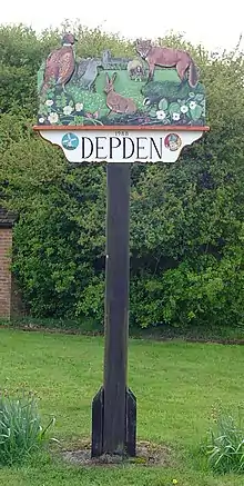
Signpost in Depden
| Depden | |
|---|---|
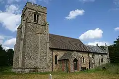 St Mary's Church, Depden | |
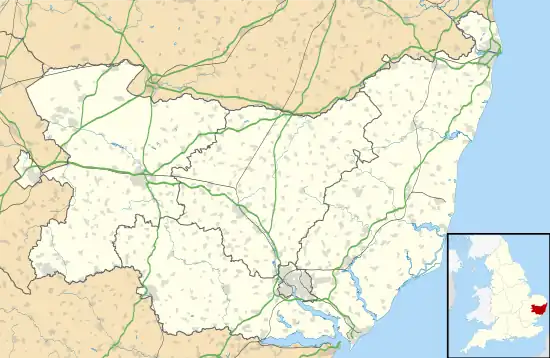 Depden Location within Suffolk | |
| Population | 200 (2005)[1] 184 (2011)[2] |
| District | |
| Shire county | |
| Region | |
| Country | England |
| Sovereign state | United Kingdom |
| Post town | Bury St Edmunds |
| Postcode district | IP29 |
| Police | Suffolk |
| Fire | Suffolk |
| Ambulance | East of England |
Depden is a village and civil parish in the West Suffolk district of Suffolk in eastern England. Located on the A143 around five miles south-west of Bury St Edmunds, in 2005 its population was 200,[1] reducing to 184 at the 2011 Census.
Further reading
- H.J. Woollard. Depden, Suffolk : church and village : a history. p. 26. OCLC 499488539. Retrieved 25 September 2014.
References
- 1 2 Estimates of Total Population of Areas in Suffolk Archived December 19, 2008, at the Wayback Machine Suffolk County Council
- ↑ "Civil Parish population 2011". Neighbourhood Statistics. Office for National Statistics. Archived from the original on 13 October 2016. Retrieved 20 August 2016.
Wikimedia Commons has media related to Depden.
This article is issued from Wikipedia. The text is licensed under Creative Commons - Attribution - Sharealike. Additional terms may apply for the media files.