Dera Ismail Khan Cantonment | |
|---|---|
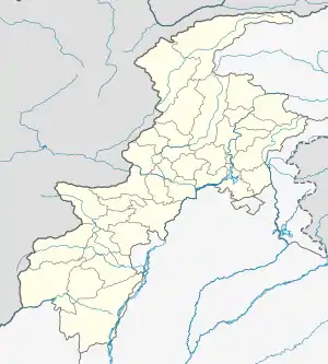 Dera Ismail Khan Cantonment DI KHAN  Dera Ismail Khan Cantonment Dera Ismail Khan Cantonment (Pakistan) | |
| Coordinates: 31°49′37″N 70°55′12″E / 31.82694°N 70.92000°E | |
| Country | |
| Province | |
| District | Dera Ismail Khan |
| Tehsil | Dera Ismail Khan |
| Population | |
| • Total | 5,697 |
| Time zone | UTC+5 (PST) |
Dera Ismail Khan Cantonment is a cantonment adjacent to the Dera Ismail Khan, which is situated in Khyber Pakhtunkhwa, Pakistan.[1]
References
- 1 2 "POPULATION AND HOUSEHOLD DETAIL FROM BLOCK TO DISTRICT LEVEL: KHYBER PAKHTUNKHWA (DERA ISMAIL KHAN DISTRICT)" (PDF). Pakistan Bureau of Statistics. 2018-01-03. Archived from the original (PDF) on 2019-02-03. Retrieved 2018-04-24.
More information at: http://www.globalsecurity.org/military/world/pakistan/cantt-dera-ismail-khan.htm
This article is issued from Wikipedia. The text is licensed under Creative Commons - Attribution - Sharealike. Additional terms may apply for the media files.