| Devil's Water | |
|---|---|
 Devil's Water | |
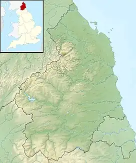 Location within Northumberland | |
| Location | |
| Country | United Kingdom |
| County | Northumberland |
| Physical characteristics | |
| Mouth | |
• coordinates | 54°58′29″N 2°02′22″W / 54.9746°N 2.0395°W |
| Length | 26.3 km (16.3 mi) |
Devil's Water is a narrow, powerful river in Northumberland, England fed by many streams. A right-bank firmly north-flowing tributary of the Tyne, it ends at the north end of the rural township (estate) of Dilston along which Tyne bank boundary is a widening of the Tyne and longstanding bridge to Corbridge (the parish in which Dilston lies).
It is formed from smaller burns and sikes between Embley and Hackford rising 3–6 miles (5–10 km) south and south-west of Hexham.[1][2][3]
Its tributaries include the Rowley Burn and West Dipton Burn,[2] as suggested by the northward flow of the main stream, left-bank (rising in the west).
Devil's Water figured large in the Battle of Hexham, 1464, a consolidatory, strategic win in the outlying presence of deposed king Henry VI of England between a large Yorkist army and small (pro-Henry) "Lancastrian" force.
Etymology
The name Devil's Water may share an etymology with the various rivers named Douglas in Northern England and Scotland such as the Douglas Water and River Douglas.[4] The name is derived from the Brittonic elements dūβ-, meaning "black",[4] and *glẹ:ss, "stream, rivulet, watercourse" (Welsh du-glais).[4]
The loose naming of the stream/river is shown by the local title of about 100 years' standing Earl of Derwentwater, the family being for some decades seated at their ancestral home the demolished Dilston Hall at Dilston Castle which was all their land.
References
- ↑ "Devil's Water". The UK Rivers Guidebook. 1 January 2000. Retrieved 14 April 2016.
- 1 2 "Devils Water from Rowley Burn to Tyne". Catchment Data Explorer. Environment Agency. Retrieved 14 April 2016.
- ↑ "Devils Water from Source to Rowley Burn". Catchment Data Explorer. Environment Agency. Retrieved 14 April 2016.
- 1 2 3 James, Alan. "A Guide to the Place-Name Evidence" (PDF). SPNS - The Brittonic Language in the Old North. Archived from the original (PDF) on 13 August 2017. Retrieved 25 November 2018.