Devon | |
|---|---|
 Devon  Devon | |
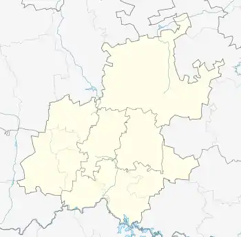
| Coordinates: 26°21′23″S 28°47′06″E / 26.356389°S 28.785°E | |
| Country | South Africa |
| Province | Gauteng |
| District | Sedibeng |
| Municipality | Lesedi |
| Area | |
| • Total | 1.37 km2 (0.53 sq mi) |
| Population (2011)[1] | |
| • Total | 347 |
| • Density | 250/km2 (660/sq mi) |
| Racial makeup (2011) | |
| • Black African | 44.7% |
| • Coloured | 2.3% |
| • Indian/Asian | 8.9% |
| • White | 42.4% |
| • Other | 1.7% |
| First languages (2011) | |
| • Afrikaans | 41.9% |
| • Zulu | 26.2% |
| • English | 11.6% |
| • S. Ndebele | 7.0% |
| • Other | 13.4% |
| Time zone | UTC+2 (SAST) |
| PO box | 2260 |
| Area code | 017 |
Devon is a settlement in Sedibeng District Municipality in the Gauteng province of South Africa.
History
Village some 18 km west of Leslie and 40 km east-south-east of Springs. Named after the home county in England of the surveyor who laid it out. Important for natural gas in the vicinity.[2]
References
- 1 2 3 4 "Main Place Devon". Census 2011.
- ↑ "Dictionary of Southern African Place Names (Public Domain)". Human Science Research Council. p. 136.
Municipalities and communities of Sedibeng District Municipality, Gauteng | ||
|---|---|---|
District seat: Vereeniging | ||
| Emfuleni | .svg.png.webp) Sedibeng within South Africa | |
| Midvaal | ||
| Lesedi | ||
This article is issued from Wikipedia. The text is licensed under Creative Commons - Attribution - Sharealike. Additional terms may apply for the media files.