Dhumku | |
|---|---|
city | |
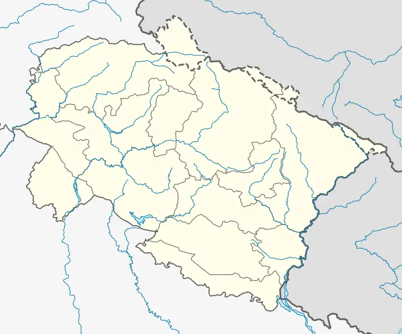 Dhumku Location in Uttarakhand, India  Dhumku Dhumku (India) | |
| Coordinates: 31°06′13″N 78°58′25″E / 31.10361°N 78.97361°E | |
| Country | |
| State | Uttarakhand |
| District | Uttarkashi |
| Elevation | 3,245 m (10,646 ft) |
| Languages | |
| Time zone | UTC+5:30 (IST) |
| Vehicle registration | UK |
| Website | uk |
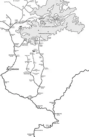
Jadh Ganga
Dhumku is a small hilly village in Uttarkashi District of Uttarakhand state of India. Jadh Ganga, an important tributary of the Bhagirathi River, flows through this place. Some of the nearby villages are Nelang (Congsa), Jadhang (Sang) and Pulam Sumda, which all lie in the valley of the Jadh Ganga (claimed by China and controlled by India).
Geography
See Geography of Dhumku, Nelang, Pulam Sumda, Sumla and Mana Pass area and Geography of Mana.
History
Territorial dispute
The valley of the Jadh Ganga is claimed by China and controlled by India.[1]
Culture
This area is inhabited by the Char Bhutia tribe who practice Tibetan Buddhism.
See also
References
- ↑ 采编 (26 November 2005). "中印边境自卫反击作战史". 中国国防资讯网. Archived from the original on 26 June 2009. Retrieved 26 November 2005.
This article is issued from Wikipedia. The text is licensed under Creative Commons - Attribution - Sharealike. Additional terms may apply for the media files.