| Dhzurla | |
|---|---|
 | |
.jpg.webp)  | |
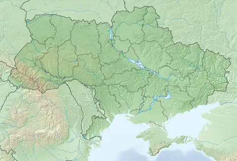
| Location | Crimean Mountains, Crimea, Territory of Ukraine, occupied by Russia[1] |
| Coordinates | 44°46′4.73″N 34°25′31.04″E / 44.7679806°N 34.4252889°E |
| Elevation | 820 metres (2,690 ft) |
| Total height | 6 metres (20 ft) |
| Watercourse | Dhzurla river |
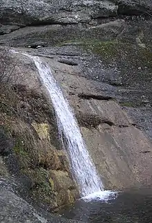
Dhzurla (Ukrainian: Джурла) waterfall is located on the Dhzurla river in the Crimean Mountains of Crimea. Waterfall height is about 6 metres (20 ft). Waterfall has a few cascades. The word “Dhzurla” from Crimean Tatar language which means “her, who runs."
Downstream river is called Soter.[2]
See also
References
- ↑ This place is located on the Crimean peninsula, which is internationally recognized as part of Ukraine, but since 2014 under Russian occupation. According to the administrative-territorial division of Ukraine, there are the Ukrainian divisions (the Autonomous Republic of Crimea and the city with special status of Sevastopol) located on the peninsula. Russia claims these as federal subjects of the Russian Federation (the Republic of Crimea and the federal city of Sevastopol).
- ↑ Гончаров, Владлен Петрович (1971). Демерджи. Симферополь: Крым. p. 28.
This article is issued from Wikipedia. The text is licensed under Creative Commons - Attribution - Sharealike. Additional terms may apply for the media files.