Diégonéfla | |
|---|---|
Town, sub-prefecture, and commune | |
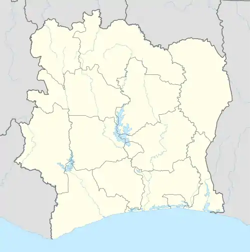 Diégonéfla Location in Ivory Coast | |
| Coordinates: 6°17′N 5°35′W / 6.283°N 5.583°W | |
| Country | |
| District | Gôh-Djiboua |
| Region | Gôh |
| Department | Oumé |
| Area | |
| • Total | 441 km2 (170 sq mi) |
| Population (2021 census)[1] | |
| • Total | 74,076 |
| • Density | 170/km2 (440/sq mi) |
| • Town | 33,523[2] |
| (2014 census) | |
| Time zone | UTC+0 (GMT) |
Diégonéfla is a town in south-central Ivory Coast. It is a sub-prefecture and commune of Oumé Department in Gôh Region, Gôh-Djiboua District.
In 2021, the population of the sub-prefecture of Diégonéfla was 74,076.[1]
Villages
The 14 villages of the sub-prefecture of Diégonéfla and their population in 2014 are :
- Diégonéfla (33 523)
- Gnandi-Boménéda (1 976)
- Goudi-Boboda (5 918)
- Scierie Jacob (10 564)
- Sodefor Cité (1 106)
- Tiama (1 054)
- Badié (1 003)
- Bidié (3 776)
- Bronda (1 840)
- Dédi (738)
- Gouéda (3 947)
- Lahouda (5 454)
- Niéboda (1 002)
- Tiégba (3 266)
References
- 1 2 Citypopulation.de Population of the regions and sub-prefectures of Ivory Coast
- ↑ Citypopulation.de Population of cities & localities in Ivory Coast
Regional seat: Gagnoa | ||
| Gagnoa Department |  | |
| Oumé Department | ||
* also a commune | ||
This article is issued from Wikipedia. The text is licensed under Creative Commons - Attribution - Sharealike. Additional terms may apply for the media files.