Doba | |
|---|---|
Town and sub-prefecture | |
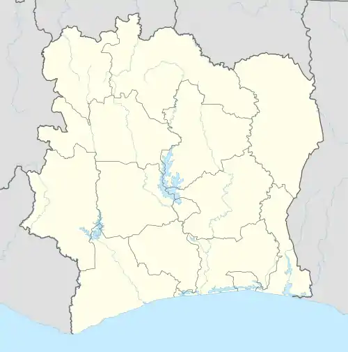
 Doba Location in Ivory Coast | |
| Coordinates: 5°12′02″N 6°49′51″W / 5.20054°N 6.83096°W | |
| Country | |
| District | Bas-Sassandra |
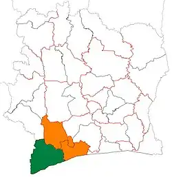
| Region | San-Pédro |
| Department | San-Pédro |
| Area | |
| • Total | 2,010 km2 (780 sq mi) |
| Population (2021 census)[1] | |
| • Total | 95,246 |
| • Density | 47/km2 (120/sq mi) |
| • Town | 13,517[2] |
| (2014 census) | |
| Time zone | UTC+0 (GMT) |
Doba is a town in south-western Ivory Coast. It is a sub-prefecture of San-Pédro Department in San-Pédro Region, Bas-Sassandra District.
A large northwest portion of the sub-prefecture lies within Taï National Park.
Doba was a commune until March 2012, when it became one of 1126 communes nationwide that were abolished.[3] In 2021, the population of the sub-prefecture of Doba was 95,246.[1]
Villages
The thirteen villages of the sub-prefecture of Doba and their population in 2014 are:[4]
- Centre Usine (2 376)
- Dagadji (21 333)
- Dahoro (967)
- Djapadji (30 605)
- Doba (13 517)
- Gagny (12 274)
- Gligbeuadji (24 979)
- Goh (9 401)
- Saph V1 (1 034)
- Saph V2 (1 233)
- Saph V3 (1 223)
- Saph V4 (1 952)
- Saph V5 (2 636)
References
- 1 2 Citypopulation.de Population of the regions and sub-prefectures of Ivory Coast
- ↑ Citypopulation.de Population of cities & localities in Ivory Coast
- ↑ "Le gouvernement ivoirien supprime 1126 communes, et maintient 197 pour renforcer sa politique de décentralisation en cours", news.abidjan.net, 7 March 2012.
- ↑ Citypopulation Population of localities of the sub-prefecture of Doba
This article is issued from Wikipedia. The text is licensed under Creative Commons - Attribution - Sharealike. Additional terms may apply for the media files.
