Dobra | |
|---|---|
.jpg.webp) Church of the Nativity of Virgin Mary | |
_COA.svg.png.webp) Coat of arms | |
 Dobra | |
| Coordinates: 51°54′N 18°36′E / 51.900°N 18.600°E | |
| Country | |
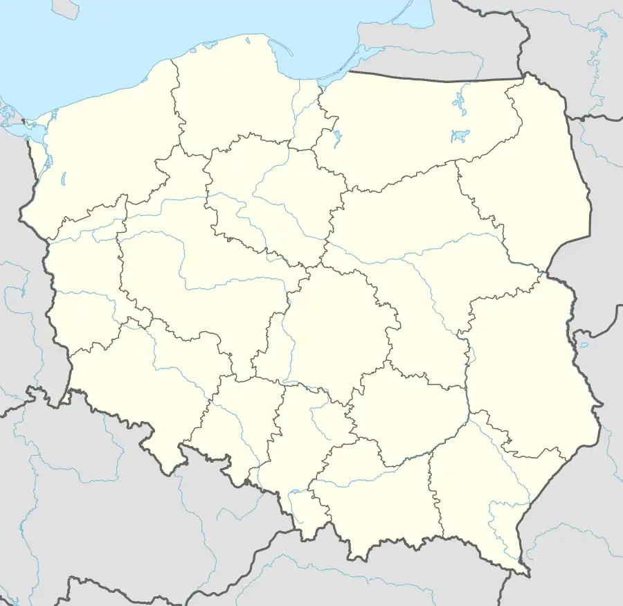
| Voivodeship | Greater Poland |
| County | Turek |
| Gmina | Dobra |
| Government | |
| • Mayor | Tadeusz Gebler |
| Area | |
| • Total | 1.84 km2 (0.71 sq mi) |
| Elevation | 123 m (404 ft) |
| Population (31 December 2021[1]) | |
| • Total | 1,333 |
| • Density | 720/km2 (1,900/sq mi) |
| Time zone | UTC+1 (CET) |
| • Summer (DST) | UTC+2 (CEST) |
| Postal code | 62-730 |
| Area code | +48 63 |
| Vehicle registration | PTU |
| Website | http://www.dobra24.pl |
Dobra [ˈdɔbra] is a town in Turek County, Greater Poland Voivodeship, in central Poland, with 1,333 inhabitants as of December 2021.[1] It is located in the Sieradz Land.
History
Dobra was a private town, administratively located in the Sieradz County in the Sieradz Voivodeship in the Greater Poland Province of the Kingdom of Poland.[2]
From 1975 to 1998, it belonged to Konin Voivodeship.
References
- 1 2 "Local Data Bank". Statistics Poland. Retrieved 2022-07-30. Data for territorial unit 3027034.
- ↑ Atlas historyczny Polski. Województwo sieradzkie i województwo łęczyckie w drugiej połowie XVI wieku. Część I. Mapy, plany (in Polish). Warszawa: Instytut Historii Polskiej Akademii Nauk. 1998. p. 3.
External links
- Official website (in Polish)
- Jewish community in Dobra on Virtual Shtetl
This article is issued from Wikipedia. The text is licensed under Creative Commons - Attribution - Sharealike. Additional terms may apply for the media files.