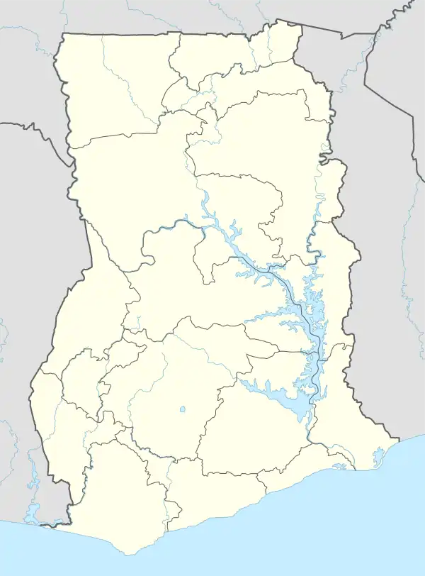
Dompoase | |
|---|---|
 Dompoase | |
| Coordinates: 6°16′N 1°25′W / 6.267°N 1.417°W | |
| Country | |
| Region | Ashanti Region |
| District | Adansi North District |
| Elevation | 669 ft (204 m) |
| Time zone | GMT |
| • Summer (DST) | GMT |
Dompoase, a suburb of Kumasi, and located in the Adansi North District in the Ashanti Region of Ghana.[1][2] The place is known for Dompoase Senior High School.[3] It is a town of 30,000 people in Ghana. Kumasi is the capital of the region, considered the wealthiest and most powerful in the nation. It is the area of most cocoa production, as well as gold mining.[4]
History
At the beginning of the 17th century, Dompoase was the capital of the Adansi tribe. It held this position until the mid-17th century.[5]
In November 2009, Dompoase was the site of a collapse of an illegal gold mine, in which 18 people were killed, including 13 women. National officials said this was the worst mine collapse in Ghanaian history. It highlighted dangers for the galamseys, thousands of independent artisanal workers in gold mining who work by hand. Many women work as porters and sorters in such operations. In neighboring francophone nations, such workers are known as orpailleurs.
Facilities
- Christ is the Answer Preparatory School[6]
References
- ↑ "Adansi North: 300 mono desks donated to Dompoase SHS". GhanaDistricts.com. Retrieved 2022-11-10.
- ↑ "Wmd: Internally Resource Mobilization Is Key To The Elimination Of Malaria-Fomena Health Director". Modern Ghana. Retrieved 2022-11-10.
- ↑ "DOSS Alumini Association in North America holds Annual Meeting". GhanaWeb. 2018-06-25. Retrieved 2022-11-10.
- ↑ Village of Dompoase Education Project (VODEP) Archived February 21, 2009, at the Wayback Machine. Village of Dompoase.
- ↑ Dickson, Kwamina B. (1969). A historical geography of Ghana. CUP Archive. p. 23. ISBN 978-0-521-07102-4.
- ↑ Wolansky, Sara Joe (2011-09-09). "Snapshots of Ghana". Harvard Magazine. Retrieved 2022-11-10.