Donje Ceranje | |
|---|---|
Village | |
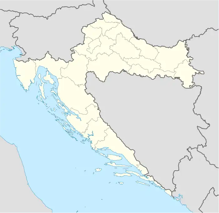
 Donje Ceranje Location of Donje Ceranje in Croatia | |
| Coordinates: 43°57′46″N 15°35′46″E / 43.96278°N 15.59611°E | |
| Country | |
| County | Zadar County |
| Municipality | Benkovac |
| Area | |
| • Total | 6.3 km2 (2.4 sq mi) |
| Elevation | 146 m (479 ft) |
| Population (2021)[2] | |
| • Total | 42 |
| • Density | 6.7/km2 (17/sq mi) |
| Time zone | UTC+1 (CET) |
| • Summer (DST) | UTC+2 (CEST) |
| Postal code | 23420 Benkovac |
| Area code | (+385) 23 |
Donje Ceranje is a village within the town Benkovac. It is 5 km (3.1 mi) south of Benkovac near the Vrana Lake.
Demographics
According to the 2011 census,[3] the village of Donje Ceranje has 22 inhabitants. This represents 7.46% of its pre-war population according to the 1991 census.
The 1991 census[4] recorded that 92.20% of the village population were ethnic Serbs (272/295), 6.44% were Croats (19/295) while 1.36% were of other ethnic origin (4/295).
Sources: Croatian Bureau of Statistics
- NOTE: The 1857, 1869, 1921 and 1931 population figures also include the population of the Gornje Ceranje village.
Notable natives and residents
- Milorad Pupovac, a notable Croatian Serb politician was born in Donje Ceranje.[6]
References
- ↑ Register of spatial units of the State Geodetic Administration of the Republic of Croatia. Wikidata Q119585703.
- ↑ "Population by Age and Sex, by Settlements, 2021 Census". Census of Population, Households and Dwellings in 2021. Zagreb: Croatian Bureau of Statistics. 2022.
- 1 2 "Population by Age and Sex, by Settlements, 2011 Census: Donje Ceranje". Census of Population, Households and Dwellings 2011. Zagreb: Croatian Bureau of Statistics. December 2012.
- ↑ Izdanje Državnog zavoda za statistiku RH: Narodnosni sastav stanovništva RH od 1880-1991. godine.
- ↑ Naselja i stanovništvo Republike Hrvatske 1857-2001, www.dzs.hr
- ↑ "Zastupnici 6. saziva Hrvatskoga sabora". www.sabor.hr. Archived from the original on 16 March 2011. Retrieved 17 June 2015.
This article is issued from Wikipedia. The text is licensed under Creative Commons - Attribution - Sharealike. Additional terms may apply for the media files.