Dorfee, West Virginia | |
|---|---|
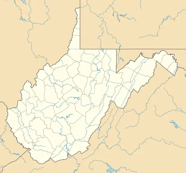 Dorfee Location within the state of West Virginia  Dorfee Dorfee (the United States) | |
| Coordinates: 38°26′37″N 81°10′29″W / 38.44361°N 81.17472°W | |
| Country | United States |
| State | West Virginia |
| County | Clay |
| Elevation | 676 ft (206 m) |
| Time zone | UTC-5 (Eastern (EST)) |
| • Summer (DST) | UTC-4 (EDT) |
| GNIS ID | 1558357[1] |
Dorfee is an unincorporated community in Clay County, West Virginia, United States. Its post office[2] has been closed.
Dorfee was most likely derived from the name D'Urfee.[3]
References
- ↑ U.S. Geological Survey Geographic Names Information System: Dorfee, West Virginia
- ↑ U.S. Geological Survey Geographic Names Information System: Dorfee, West Virginia
- ↑ Kenny, Hamill (1945). West Virginia Place Names: Their Origin and Meaning, Including the Nomenclature of the Streams and Mountains. Piedmont, WV: The Place Name Press. p. 212.
Municipalities and communities of Clay County, West Virginia, United States | ||
|---|---|---|
| Town | 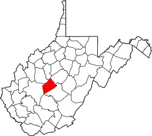 Clay County map | |
| Unincorporated communities |
| |
| Footnotes | ‡This populated place also has portions in an adjacent county or counties | |
This article is issued from Wikipedia. The text is licensed under Creative Commons - Attribution - Sharealike. Additional terms may apply for the media files.